Blog for May 5, 2017
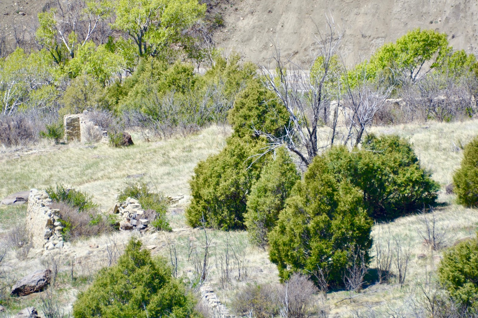
From 1912 to 1941, hundreds of young workers and their families immigrated to this canyon to mine Sugarite (pronounced “sugar-eat”) Coal. The mining was hard, low-paying work, but former residents remember their times in the coal camp, a 1.5 square mile self-contained village, as some of the best years of their lives. The mines have long since closed, but a trail winds through the ruins and there are information signs.
Sugarite’s high-quality bituminous coal burns hot and clean, and doesn’t contain many “clinkers”. Clinker is the stony material that is left behind when coal is burned.
The State Park Visitor Center was originally the Sugarite Post Office (built 1912) and it is located on spring-fed Chicorica Creek which runs the length of the canyon. This abundant and reliable source of water is an important trait of Sugarite Canyon. Native people have gathered here for thousands of years.
There was a schoolhouse (built 1912) and a Clubhouse among the ruins. The clubhouse (built 1919) had a ballroom, a billiard room, an ice cream parlor, and a sewing room. Men drank beer after work and gambled on the porch. Women held quilting bees. Dances were held regularly with live bands, and everyone went. Children hung out in the back and learned to do the foxtrot and the waltz with aunts and uncles. Sugarite residents spoke 19 different languages but conflict among them was uncommon.
Adjacent to the Visitor Center is an open field where the coal company helped to organize several sports leagues, which were good for morale. Workers competed against teams from other communities in baseball, basketball, football, and “socker.”

Sugarite residents did not “owe” their soul to the company store,” but they did owe their paycheck. Rent, utilities, groceries, medical bills, and work equipment were all deducted from a worker’s pay.

An Italian family built this bread oven to make and sell bread to bachelor workers.
Ruins of the row houses. All houses were built, maintained, and rented by the company. Each house measures 400 square feet and included four rooms and a wraparound porch. Each room had an electric lamp and each yard had a water faucet - a rarity in mining towns.

When the mine shut down, the company sold most of this material as salvage.

We walked up the hill to the mines. This Dynamite Shack is one of the few structures that is almost completely intact.

This is the entrance to Mine #2, the most productive. There are eleven miles of horizontal underground tunnels behind this entrance.

This pulley system transported coal down the side of the canyon. A heavy cable was wrapped around each spool and attached to loaded coal cars. The weight of six loaded coal cars going down brought six empty cars up, so no motors were needed.

After touring the ruins of the Camp and the mines, we hiked up the canyon along Chicorica Creek. Because of the recent snow, the creek was high and flowing fast.

View out the canyon towards the south.

We walked as far as Lake Alice, one of three manmade lakes along Chicorica Creek. Our campground is across the road at the far end of the lake.

Lunch spot at the spillway at the other end of Lake Alice.

Back at the Visitor Center we had lots of questions about the Sugarite Coal Camp. In the Visitor Center was the cast of a Tyrannosaurus Rex foot print. Dinosaurs, such as the T-Rex were living in the area during the Cretaceous Period, 65 - 135 million years ago when Sugarite’s landscape was mostly swamps and mudflats along the inland sea. This cast from the only knownTyrannosaurus Rex track ever discovered. An adult T-Rex weighing in at about 6 tons and measuring up to 60 feet in length, made this imposing track. The track was discovered 40 miles west of here near Cimarron, where we were on Tuesday.
Today’s hike:
Length - 4.95 miles
Duration - 3 hours, 3 minutes (including lunch)
Elevation gain - 560 feet (62 floors on the Fitbit)
No comments:
Post a Comment