Thursday, September 29, 2016

Sooke Potholes Trail

Sooke is the next community along the southern coast of Vancouver Island and a center for tourism and outdoor recreation. At the Visitor Center we received several trail guides and decided to hike the Sooke River and view the potholes. The "potholes" are unique geological formations - deep pools in the river. The Sooke River is the second largest on Southern Vancouver Island and home to a salmon run every fall.

This morning I got up at sunrise, just before 7 a.m., and took these pictures. Last night when I was taking pictures of the beach, a woman had said the sunrises were exquisite. 

That's Mt. Baker beyond Victoria.

The trail along the Sooke River.

The river seemed kind of low.

Pools and falls at one of the viewpoints.


Late this afternoon we noticed a cruise ship leaving Victoria headed...

we don't know where. Someone told us that Victoria has more cruise ship than.... I don't remember what they said, but apparently there are a lot of ships that dock at Victoria.

Disappearing behind our headland. 

Today's hike:
Length - 3.25 miles
Duration - 1 hour, 50 minutes
Elevation gain - 370 feet (37 floors on the Fitbit)

Weir's Beach, BC

Don't be confused, we're at Weir's Beach, but it's the one on Vancouver Island, BC, not the Weir's Beach on Lake Winnipesaukee in New Hampshire. We arrived here late this afternoon after a 200 mile drive from Tofino. Towing 200 miles shouldn't take almost 6 hours, but for half that distance we were on the cross-island highway, #16, which is narrow and winding and we had to keep our speed way down.

We have been in the rain forest for the past 5 days, but today we drove inland and saw densely forested mountain peaks.

Narrow, winding road with...

some steep grades!

Interior mountains on Vancouver Island.

Of course there were lots of logging trucks, including this one with some pretty good-sized logs.

Frederick suggests the title - "Before & After" - for this picture.

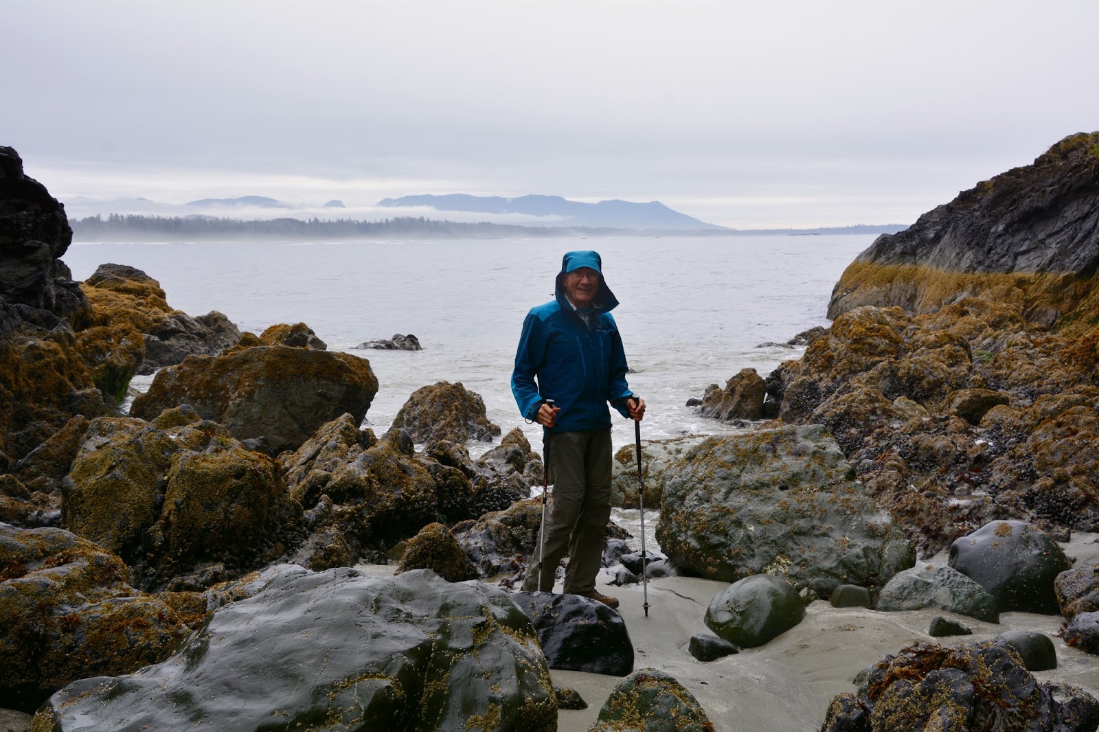
Toward the east coast the forests were inhabited by some very impressive trees.

Groves of old growth trees.

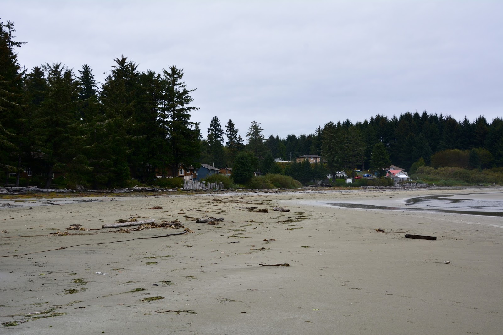
View from our site at Weir's Beach. The Airstream is parked one RV back from this beach.

We can see this sand bar off the beach from the kitchen window. That's a Blue Heron (click the picture to enlarge), we've been told. We were also told that she has three youngsters, but we haven't seen them yet.

Across the bay from our RV park is Victoria.

This ship, we were told, has been sitting out in the bay for about two weeks. The owning company, Hanjin, has gone bankrupt and ships all over the world are just sitting outside ports waiting for the funds to pay the docking fees before they can unload their cargo.

You might be able to just make out Mt. Baker which is a huge mountain located in the Cascades of northwestern Washington State, due east of Bellingham.


Tuesday, September 27, 2016

Wild Pacific Trail

We saved the best for our last day on the west coast of Vancouver Island. We had been watching the weather forecast and knew that today promised clear skies and sunny weather, perfect for the premiere hike in the Ucluelet/Tofino area. The Wild Pacific Trail skirts the rugged west coast of Vancouver Island, where the ancient rainforest meets the open Pacific Ocean. This trail led us beneath the forest canopy and along a spectacular coastline.

The Wild Pacific Trail is in several sections; we began with the 2.6 km one called the Lighthouse Loop which begins where the road ends on the western edge of the Island. The trail traces the edge of a rocky headland past dramatic views of Barkley Sound and Amphitrite Lighthouse.


The interior of the headlands is a mossy rainforest.

Amphitrite Lighthouse.


Our lunch spot along the Lighthouse Loop.

Lunch view.

After lunch, we drove to the north end of the trail, parked along the highway (because there's no parking lot at this end) and took the trails called Ancient Cedars, Artist Loops, Brown's Beach, and Rocky Bluffs.

Honestly, we could stop at any spot along the trail and take a picture of magnificent, panoramic views. Here are some of them. Click on the pictures to enlarge them for more detail.


Once again, as with the Lighthouse Loop Trail, we hiked through the rainforest that came right to the waters' edge.


Today's Hike:
Length - 4hours, 47 minutes
Length - 8 miles exactly!
Elevation gain - 1,230 feet (123 floors on the Fitbit)

Krummholz at the Shore

We began on the Schooner Cove Trail, a popular hike consisting of a scenic series of boardwalks, stairways and ramps that led us through a lush mossy rainforest. As we traveled through the rainforest the sounds of the ocean booming were hard to miss. We were led out onto the beach where we could catch glimpses of the village of Esowista, belonging to the Tla-o-qui-aht, who have lived along this shore for centuries.

Impressive tree.

Traveling the boardwalk through the rainforest. (Click on the picture to enlarge it and find Frederick.)


At high tide these rocks are submerged. Perhaps you can see the tide line on the adjacent rocks.

Next we took the Rainforest Trail through a mossy, old growth, rainforest with interpretive signs to guide and educate. 


Most of the way we traveled along a boardwalk.

Gigantic western red cedar and western hemlock reach up to the sunlight, their boughs thickly carpeted with hanging gardens of moss. 

Meet Wilma and Hank, from the Netherlands. It was a pleasure to chat with them as we passed in the parking lot for the Rainforest Trail. It turns out they are staying in the Crystal Cove RV Resort, as are we. We loved hearing about their travels to Japan and China.

Finally, we ended the day on the Combers Beach Trail which led from the parking lot, through a sitka spruce forest, down to Combers Beach.

We've written about "krummholz"before - "krummholz" is German for "crooked wood", a tree form
created when windborne salt, sand or snow kills branch buds, stunting growth. Common in windy seashore and subalpine environments. We knew about krummholz in subalpine environments but today we experienced the windy seashore type, above.

Access to this beach is dependent on tides so it was good that we were at low tide.