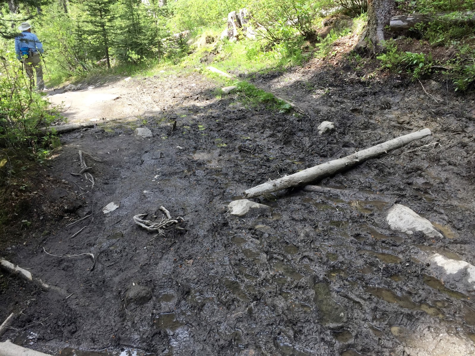
Because the trail travels through such a thick forest, the footing could sometimes be muddy and slippery.

I believe that I have identified today's wildflower - a wood anemone, found in moist meadows and woods.

By the time we arrived at Boom Lake the sky had clouded over and a light rain began to fall.

Pano view of the lake from our lunch spot.

Looking south down the lake.

This young couple are from Canmore and hiked up to the lake with a paddle board on his back. They consider Boom Lake a hidden gem. I'm sorry we didn't get to see him out on the lake, but they were just leaving.

We broke out our rain jackets and ate our lunch under the shelter of some trees.

After lunch the sky brightened a bit and the lake water began to have more of an emerald color. The paddle board couple said that in the sunlight the lake is a deep, emerald color.

Same view as six pictures above - maybe a little more sunlit.

The trail through the deep woods.

What was very nice about today's hike were the bird songs. Usually the woods seem fairly quiet, but today the bird chorus was in full voice. We found one tree that was obviously a favorite of some woodpecker.

Close-up view of the tree.

Filtered views of the surrounding mountain peaks.

Rugged and magnificent.

The last half of the hike we could hear the rushing waters of Boom Creek that is somewhere down this mountainside.

There were frequent run-off streams that would cross the trail and rush off down the mountainside to meet the creek. Perhaps you can glimpse the little bridge over the trail that I'm standing on - bottom left in the picture.

Finally, at the trailhead, we could see the creek.

Bridge over the creek at the trailhead.
Today's hike:
Length - 6.83 miles
Duration - 3 hours, 36 minutes (including lunch)
Elevation gain - 770 feet (77 floors on the Fitbit)
No comments:
Post a Comment