http://venturing4th.blogspot.com/2017/07/bald-hills.html
We were disappointed because the smoke from the BC forest-fires obscured the dramatic views we had experienced in other years. We decided to go back on a clear day - today. It's the same hike: steep climb up the fire road; first viewpoint, the former Bald Hills fire lookout with outstanding views of the surrounding mountains and valleys; and, then a further climb to an even better viewpoint with the option of continuing along an elevated ridge to the highest, rocky viewpoint.
Bald Hills fire lookout views.

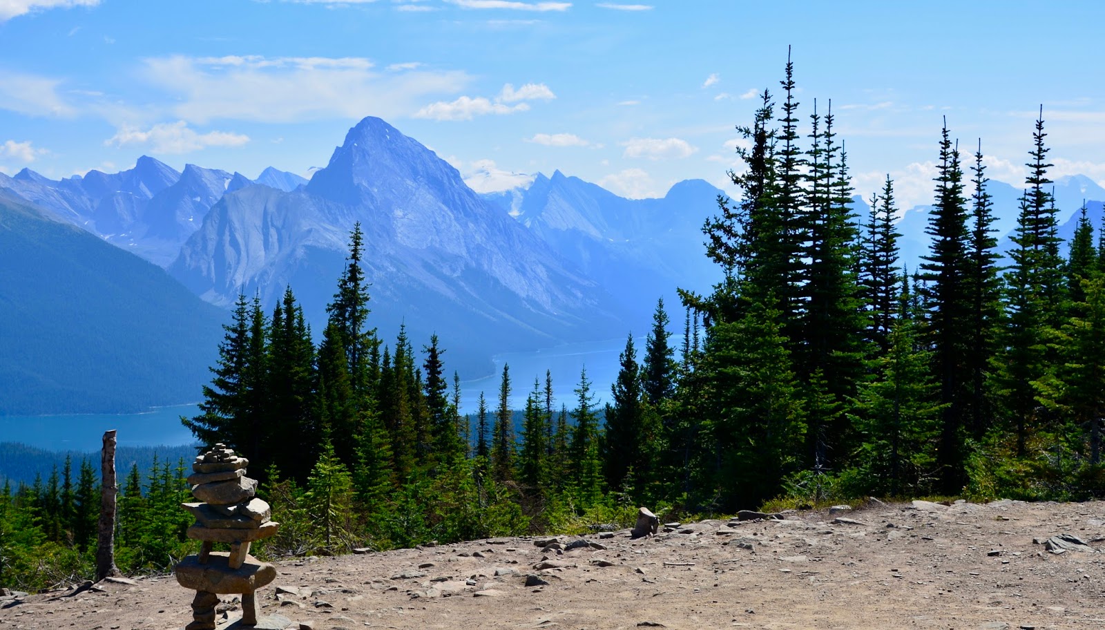
Today's view from the first high hill viewpoint.

The rocky top of the highest overview - top left of the picture.

Here's the close-up.

Crossing the elevated ridge to the rocky overview.

View down into the valley to the right of the ridge.

Lunch spot...

just below the top of the rocky viewpoint. In the enlarged previous picture, you can see someone standing on the top in the far left upper corner of the picture.

Lunch view of Maligne Lake, Maligne Mountain and Maligne Glacier behind the peak.

Across the valley are the Opal Hills. We could see where had hiked two weeks ago.
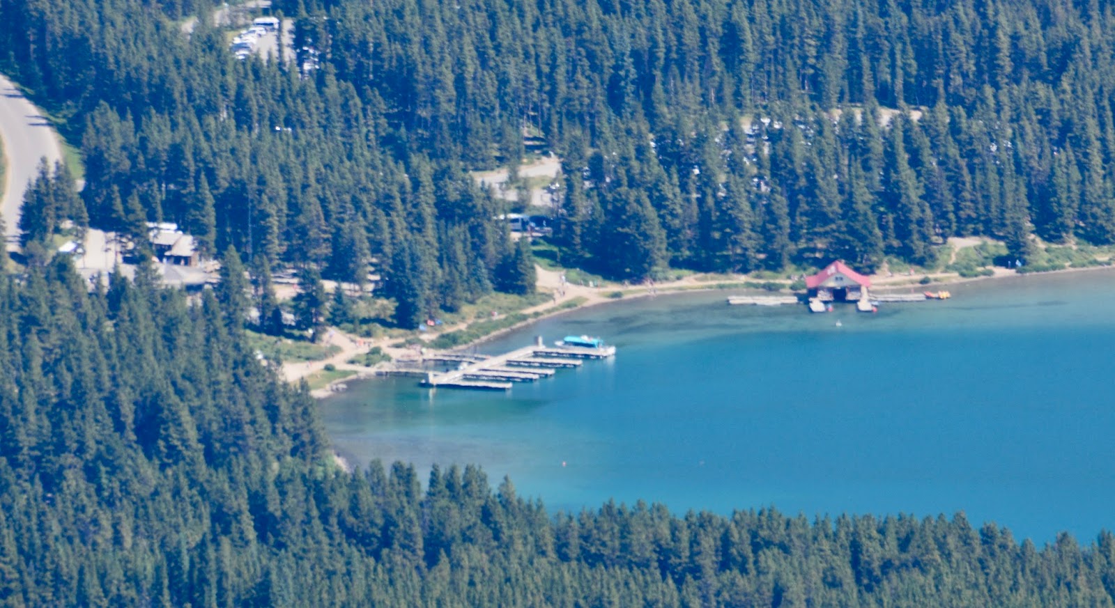
Boat dock at Maligne Lake.

For our lunch companion we had a pika - a member of the rabbit family.


Some of the peaks we could see in the far distance.

After lunch we climbed to the top and Frederick struck an heroic pose!

View over the BaldHills as we descended from the rocky top.

Back, down the trail, to the fire lookout.

Another fine view from the fire lookout. Some of the last of the wildflowers.

Opal Hills across the valley.
Today's hike:
Length - 9.44 miles
Duration - 4 hours, 16 minutes (including lunch)
Elevation gain - 2,143 feet (649 meters)
No comments:
Post a Comment