(You will get the most detail of the following pictures if you click on them to enlarge them.)

The Chiricahua Apache called these pinnacles "stand up rocks."

Their origins began 27 million years ago when eruptions from the Turkey Creek Volcano spewed ash over 1,200 square miles. These super-heated ash particles melted together, forming layers of gray rock called rhyolite. Cooling and subsequent uplifting created joints and cracks in the rhyolite. Eons of weathering by ice wedging and erosion by water enlarged the cracks. Weaker material washed away, leaving behind an endless variety of spires, balanced rocks, and other shapes.

After stopping at the Visitor Center we drove up the 8-mile Bonita Canyon Scenic Drive to Massai Point for an overview of Rhyolite Canyon, adjacent valleys, and surrounding mountain peaks. The mountain range in the distance, on the right, is the remains of the Turkey Creek Volcano.

Overlook at the trailhead of the Echo Canyon Trail.

Winding among a stunning collection of strange rock formations, the loop hike through Echo Canyon offered a memorable introduction to the wonders of Chiricahua National Monument.

Interesting detail of erosion remaining on a wall.

Referred to as "Wall Street", the trail follows a long narrow passage hemmed in by vertical walls of the volcanic rock.

Like nothing we have ever seen before.

The weather provided a perfect hiking day.

We were particularly taken with...

the "balanced" rocks right alongside the trail.

This area is known as the "Grotto".

More pictures of the towering columns of rock.

The trail, like so many others we have taken, was constructed by the Civilian Conservation Corps in 1936 and 1937. Most CCC trails possess a sturdy, comfortable feel that is easy to hike.


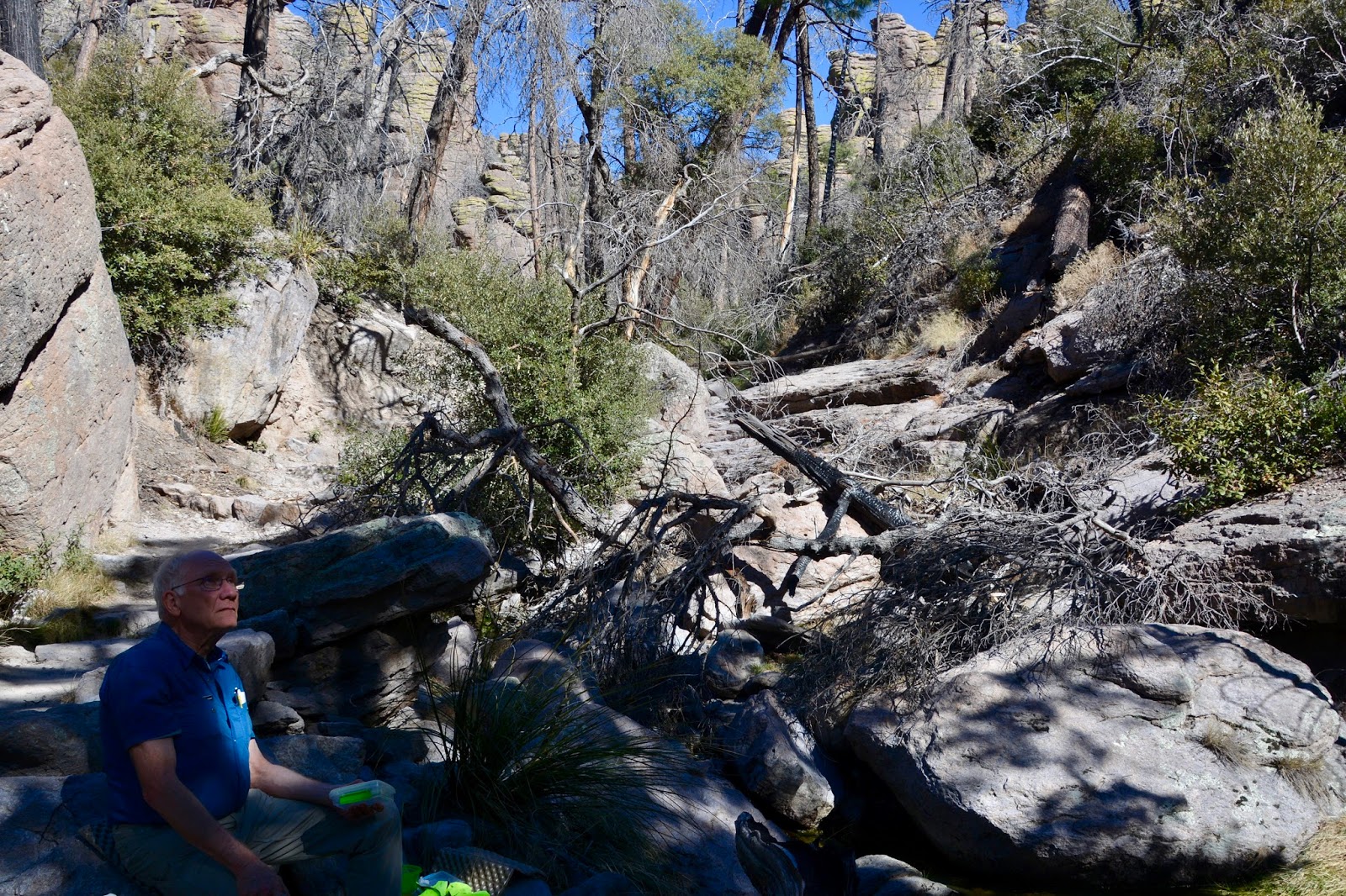
At the base of Echo Canyon, the trail enters Echo Park where Bonita Creek originally allowed for towering pine fir and cypress. Unfortunately, the Horseshoe II Fire devastated the Echo Park area in 2011. Even so, we found a nice spot by Bonita Creek for our lunch.

Although many of the trees are blackened, some few remained to provide shade.
We are so taken by Chiricahua National Monument that we plan on returning tomorrow to hike the longer Heart of Rocks trail.
Today's hike:
Length- 3.45 miles
Duration - 2 hours, 41 minutes
Elevation gain - 520 feet (59 floors on the Fitbit)
No comments:
Post a Comment