From the trailhead, the entire hike climbs 3,100 feet in only 4.2 miles, giving it a "difficult" and strenuous rating. We were also warned that the "Eyebrow" is narrow and treacherous - we opted to hike only to the Fairchild Line Cabin, 2.9 miles and 1,500 feet of elevation gain.

From part way up the Dog Canyon wall with a nice view of our hike to come. We climbed two steep hillsides to reach benches, or plateau areas.

The trail on the outer face of the canyon was very windy.
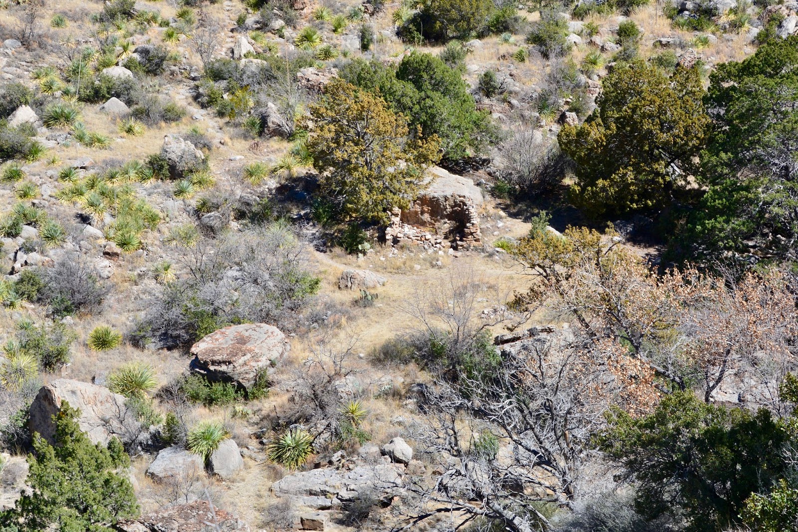
The ruin of the Fairchild LineCabin is a landmark at the box-end of the canyon.

If you enlarge the picture you might see the steep trail that we had to descend from the upper bench down to the bottom of the canyon.

Frederick, in front of the line cabin ruin, reading about the continuing trail and deciding that we had hiked far enough.

Large juniper and cottonwood dominate the streamside habitat here.

The trail continues up this slot with the Eyebrow along the ridges of the peak in the middle.

The opposite view from the picture above, looking out onto the Tularosa Valley.

The upper bench with a view out to the Tularosa Valley and you just might be able to glance the White Sands at center right.

View back down the canyon, kind of the opposite of the first picture. In this one you can really see the White Sands National Monument.

Crossing the lower bench.

600-feet above the Visitor Center and the campground. We are in the 1st campsite on the right as you make the turn into the campground loop.
Today's hike:
Length - 6.07 miles
Duration - 3 hours, 56 minutes
Elevation gain - 1,570 feet (163 floors on the Fitbit)
No comments:
Post a Comment