
This was our objective, the combination fire look-out/visitor center on top of Mount Washburn (perched on top of the mountain in the center of the picture. Click on the picture to make it larger.), elevation 10,243 feet, the highest point in Yellowstone National Park.

The trail followed an old road used by stagecoaches and early automobiles to reach the top. One trail book asked us to imagine it's 1920 and model-T Fords are "zooming by at a hellacious speed of 4 mph!" The model-Ts backed up the mountain in reverse because in those early days, automobiles had no fuel pump; it was gravity feed only. The gas tank was under the seat and if the road was too steep then the gas could not flow up to the engine. The only solution was to back up the mountain.

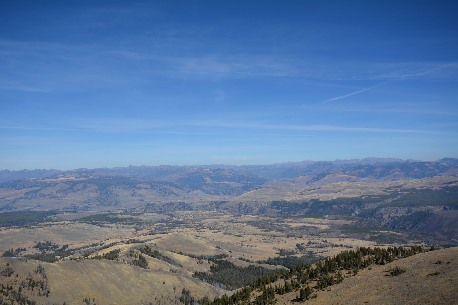
The views were 360 and this is looking north across the Lamar Valley, the location where wolves were re-introduced into the park in 1995, twenty years ago.
Our lunch view of the Lamar Valley. You might be able to see that much of Yellowstone Park lies in a caldera, a depression formed after a volcanic eruption.

Looking to the east we could see the Grand Canyon of the Yellowstone River (cutting across the middle of the picture).

To the south we could make out the jagged peaks of the Grand Tetons.

This is the trail down from Mount Washburn, the old road bed.

Right above Frederick's head is Mount Sheridan (10,308 feet) which lies 45 miles to the south. Mt. Washburn and Mt. Sheridan mark the northern and southern boundaries of one of the largest volcanic eruptions known to man.

Mt. Sheridan and the caldera. About 600,000 years ago, a huge dome welled up, then exploded with tremendous force. Hundreds of cubic miles of molten rock spewed from the earth. Mountains of ash and pumice were hurled out by exploding gas. Debris from the eruption has been discovered in Kansas. When the volcanic activity subsided there remained a mountain with no insides. Unable to bear its own weight, it collapsed, forming a great crater or "caldera" several thousand feet deep. Subsequent lava flows slowly filled the huge crater and the result is the landscape that we saw between Mt. Washburn and Mt. Sheridan - relatively flat.
Hike statistics:
Length - 7.52 miles
Elevation gain - 1,400 feet (143 floors on the Fitbit)
Duration - 3 hours, 41 minutes (Really only about 2 hours and 45 minutes hiking time. The rest of the time included lunch at the top and a long conversation with a family from Indiana. I neglected to get their picture.)
No comments:
Post a Comment