Blog for April 18, 2015
“What’s Growing Out There?” was the name of the ranger program this morning in Palo Duro Canyon.

We met in the Lighthouse Parking lot with Bernice, the Park Interpreter, and it was the largest group they have had this year. That’s Bernice - 4th from the left.

The real star of the program was Joanne Toler, a native plant expert. She not only identified the native plants but also told us about their uses, particularly by the Native American Peoples.
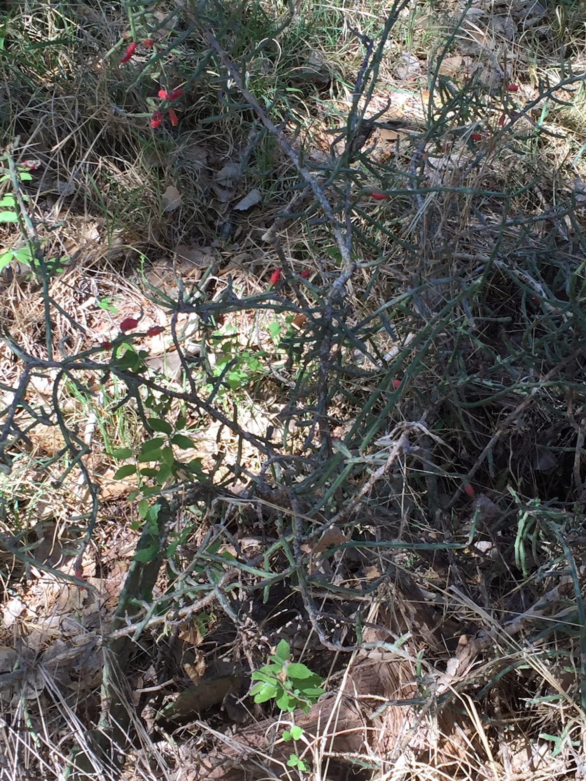
We have been seeing this cactus along the trail for the past 10 days and Frederick is particularly fond of it. Joanne identified it as Tasajello, or “pencil cactus”. It has red berries as a bloom- perhaps you can see them.

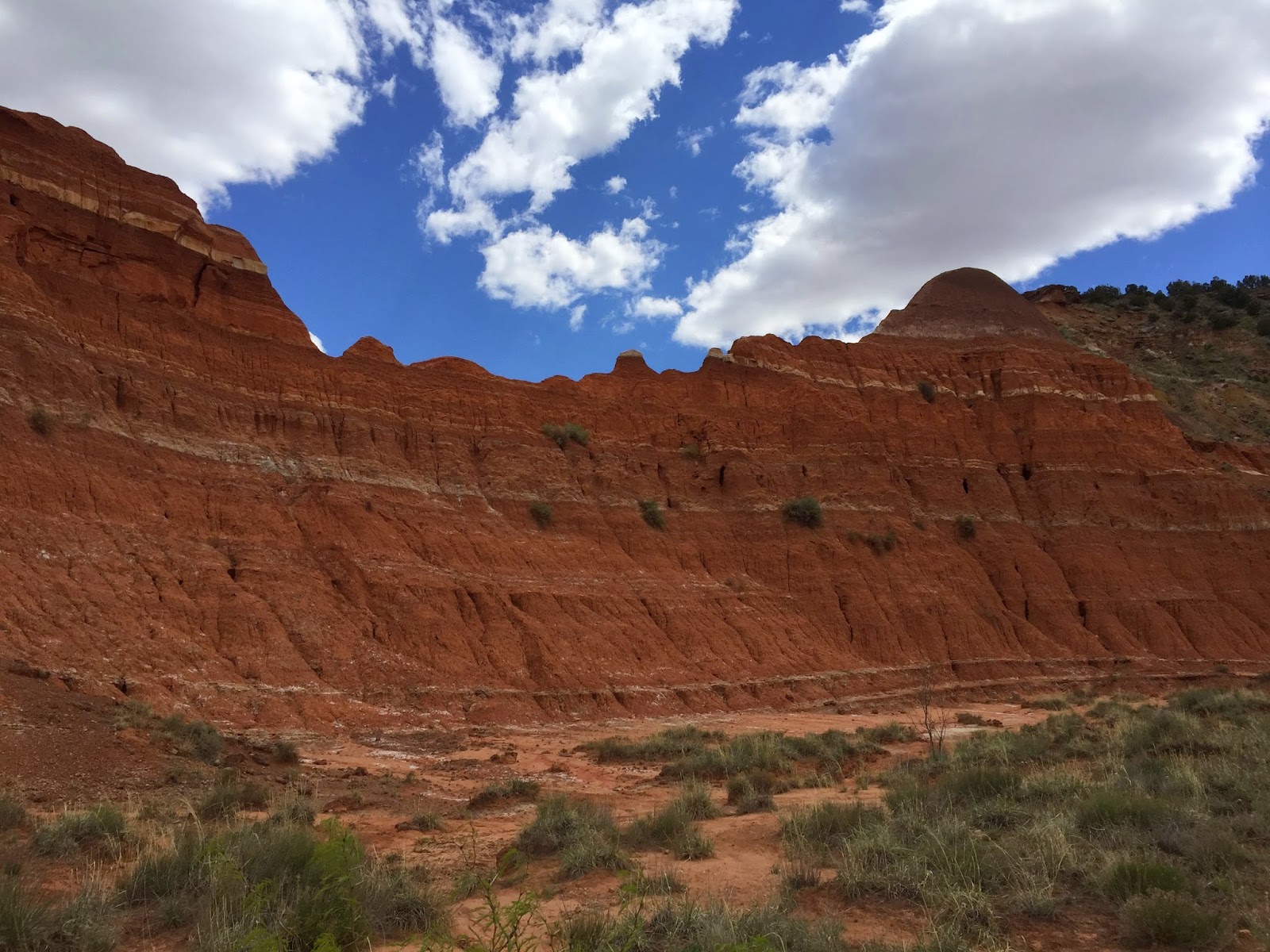
Here Bernice is talking about the Fortress, the formation across the canyon that comprises the four formations, or layers, of the Palo Duro Canyon.

They are, from top to bottom, Ogalalla, the caprock of the High Plains; Trujillo, the hard red sandstone layers separated by red or gray sandy clay; Tecovas, or “Spanish Skirts”, the purple, yellow and gray shale; and, the Quartermaster, brick-red shale and soft sandstone with layers of white gypsum.

Perhaps not the most significant flower we saw, but one of the prettiest, is the Evening Primrose. We also saw white ones next to the trail. (They have nothing to do with the prickly pear which appears, to us, to be the “weed” of Texas.
After the Ranger Program we headed out on the most popular trail in the Park, the Lighthouse Trail to the most famous formation.

First the warning.
Then lots of beautiful scenery.


The Lighthouse, in the middle right, getting closer.

The last .1 mile of the trail is straight up to get to the base of the Lighthouse - if you want to, which we did. At the place where the real trail headed up, a family group was sitting and hid the trail. We were following three girls and took an alternate trail to the top.

Here is the last 700 feet to the base.

The ridge at the base of the Lighthouse.

View south from the ridge…

and to the north.

Before the climb down we stopped and ate our lunch on a bench about 500 feet from the base of the Lighthouse.

Using our new “selfie stick”.
On the hike back there was more beautiful scenery.


This young hiker, and her Mom, is Emma. Mom’s name is Jennifer.

On the way back to our campsite we have to travel through four water crossings like this one. After the rain on Thursday night, a lot of silt collected on the road under the water.

They are working on clearing away the silt on the road.
Love the idea of a "selfie stick". High definition phones have been a great disincentive for me to ever take a seflie at simple arm's length!!
ReplyDelete