Sometimes you can have too much information. A few weeks ago we purchased two books, Mountain Directory East for Truckers, RV, and Motorhome Drivers, and one for the West. Frederick has taken to examining these books, which is good, but when we planned to drive the Blue Ridge Parkway from Asheville to the end, at the Great Smoky Mountains National Park, he found several grades that were written up in the book. Also, the approach route to the Parkway that is closest to where we are camping had a real humdinger of a description - "It is 4 miles of 9 to 10% with continuous very sharp curves and hairpins, very narrow roadway, narrow shoulder, steep drop-offs, and no guardrails. Not a good choice for large vehicles. " So this morning we decided to drive to the Blue Ridge Parkway Visitor Center and Headquarters that is just east of Asheville and right on an entrance to the Parkway.

Inside the Blue Ridge Parkway Visitor Center. There was a nice film about the construction of the Parkway.
When we asked about the drive there was no hesitation on the part of the ranger and, of course, we are not driving a semi.
Off we went to drive the 85 miles to the end of the Parkway. This is the section we did not complete four years ago when we drove the Parkway until the outskirts of Asheville. The ranger said it would take us three hours; it took us five hours because of all the stops we made and a short hike we took.
At the beginning of our drive we stopped at every overlook until we realized that there was one about every 1/2 mile or so. Then we got more selective.

At one of the early overlooks we connected with this group of cyclists. This man's name is Ken Hammock, from Fort Worth, Texas. He said that he and his friends get together every once in a while and take a little trip. He has a 42', 5th wheel, toy-hauler that he uses to travel the country. (Rhode Island connection - he knows Providence "real well" because his daughter lived in Woods Hole and he used to fly into the airport at Providence to visit her.)
A few stops down the road we noticed a trailhead for a .8 mile hike to an overlook. So on with the hiking boots, get out the hiking poles, and away we go - straight downhill. Now going downhill can be difficult enough, hard and on the knees and ankles, but you are also keenly aware that to get back you have to climb uphill. But it was beautiful and, a few steps down the trail, the only sounds were the forest sounds. It was a nice diversion and gave us some exercise.

We selected the .8 mile Chestnut Cove Overlook trail.

That's the trail, disappearing down the hill on the right, half down the picture.
At about the 3,000 foot elevation there were shrubs along the side of the road that were a lovely soft pink. I don't know what there were, but they were sure pretty. When we gained a few hundred feet more in elevation they disappeared.

Typical of the overlooks at the beginning of our drive. This is the French Broad Overlook, elev. 2100. This river, the French Broad, was a major commercial transportation route.

These "weeping" rocks were just before a tunnel. We must have gone through 20, short, tunnels.
About 1p.m., we reached the top of Mt. Pisgah, elevation 4,980. George Vanderbilt used to have a lodge, called Buck Spring Lodge, at this location but the buildings were removed in 1963. The views were stunning. A little further on was a picnic area where we had our lunch.

View from Mt. Pisgah.

Our luncheon view.
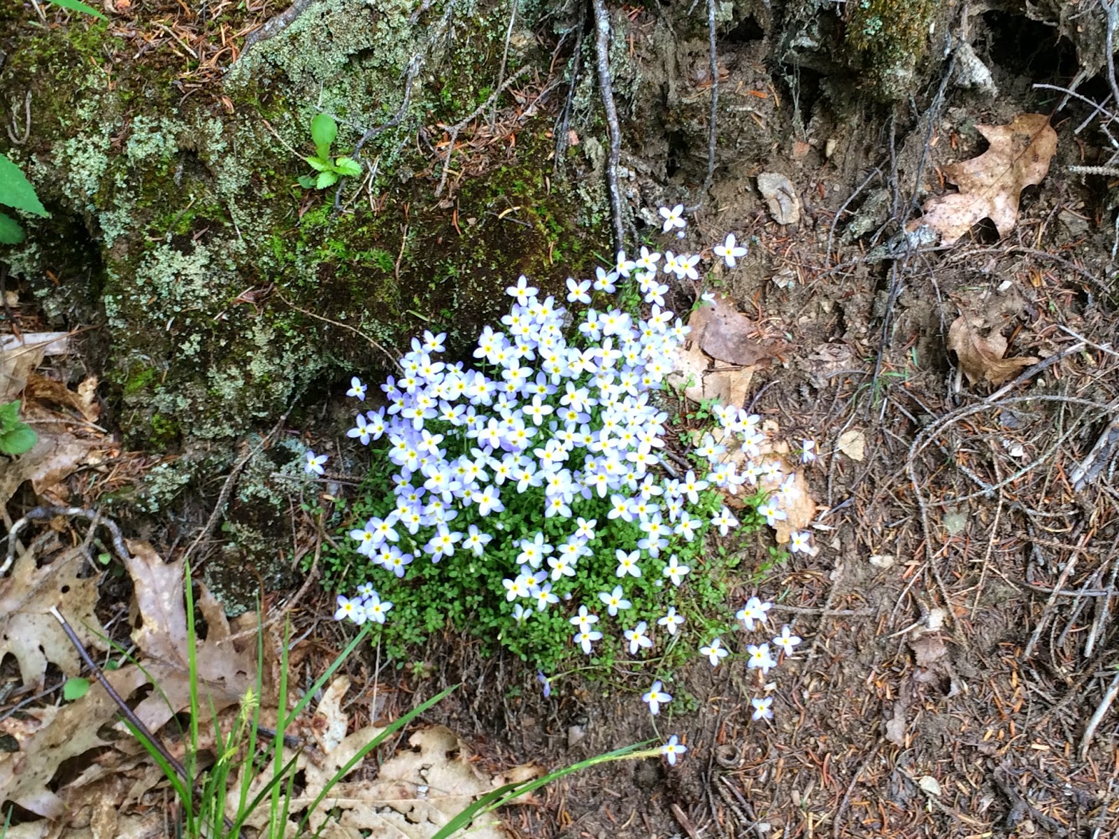
A little patch of wildflowers on the walk to a picnic table.
At about 2 p.m. we arrived at mile 432 on the BRP, the highest point on the Parkway - 6, 053'.

We made it!
It was 65 degrees out.

As you can see, right next to the sign was a row of 4 late-model Thunderbirds in various colors. We spoke with the woman in pink (you can see her between the 1st and 2nd T-bird). She said there were 5 first cousins that were all born in the same year and they were very close as children and have remained close. There are four still living and every month they get together. One of the cousins owns about 10 Thunderbirds, he used to work for the Ford Motor Company and helped design the Thunderbird. He suggested that they each drive one of them to this highest point on the Parkway. There they are!

This is the view from the highest point. The trees at this elevate were Red Spruce and the smell was wonderful.

This dog is not enjoying the view. He has his eyes on his owners who are have their lunch sitting on chairs right next to the truck. He wants a baloney sandwich!
From this point it was pretty much straight downhill to mile marker 469, the end of the Parkway and the entrance to the Great Smoky Mountain National Park. We went into the Visitor's Center, looked around and then got in the car, found our way to the highway and drove about 50 minutes back to Asheville.
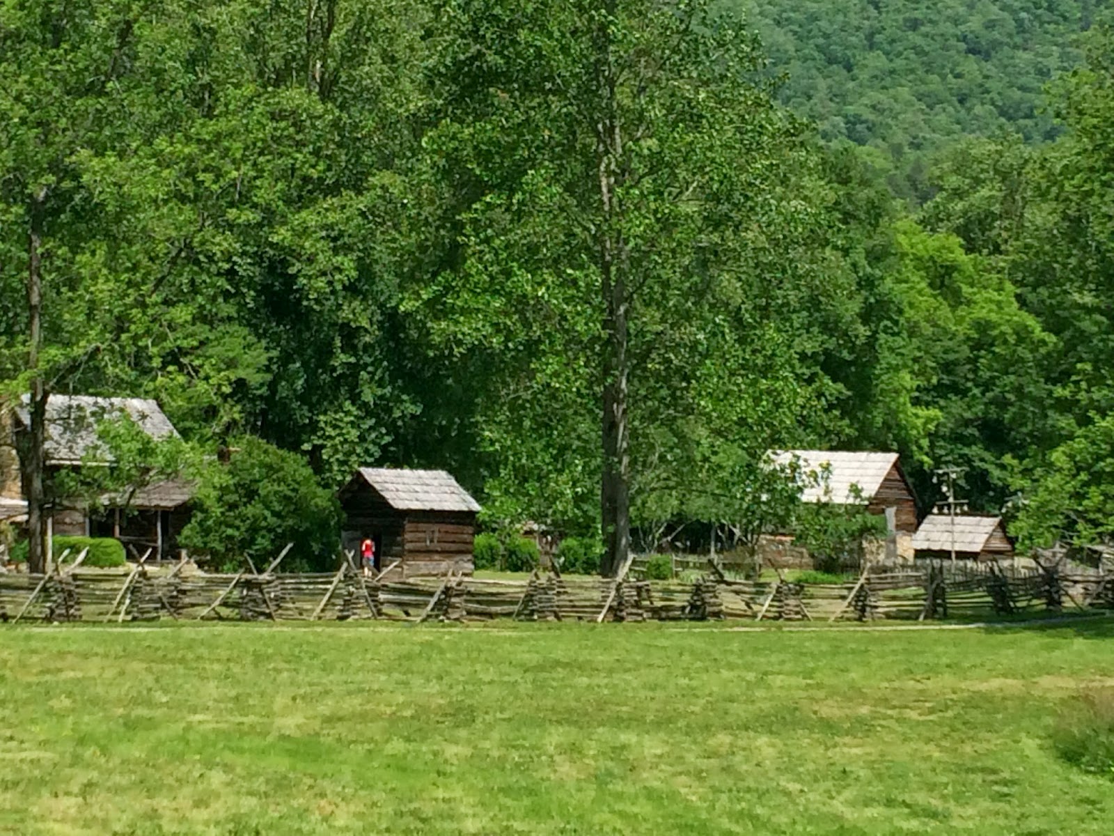
A reconstructed farm representing life in about 1900 near the Great Smoky Mountains was featured at the Visitor Center.

On our way to the grocery store in Asheville we came upon a Farmers' Market. This group was entertaining the shoppers. That wash tub makes a great sound and the man just to the left is playing the "spoons". They sounded good!
I forgot to mention the Rhode Island connection from yesterday. After her husband died in 1914, Edith Vanderbilt married Peter G. Gerry in 1924. He was a U.S. Senator from Rhode Island and Edith died in Providence in 1958.
The mountains are gorgeous. Are you between sites right now or staying in the area?
ReplyDelete