This morning we picked up where we left off yesterday on the Russell-Brasstown Scenic Byway. Yesterday was all hiking and falls; today we wanted to complete the loop and reach the highest point in Georgia.
First off, just as we were leaving town (Helen), we passed an area that offered a ropes course for the general public. I mention it because a ropes course was a big attraction at Stone Mountain. It seems that Georgians love their ropes courses.

Ropes course at the edge of town.
Within 15 miles we were again on the Scenic Byway on one of the curviest roads I have ever been on. Not only side to side curves but up and down as well. We passed a few bicyclist that were huffing and puffing going up a hilly stretch, as well as, some that were flying past us on a downhill stretch.
About 25 miles along the Byway we reached the spur road to take us to the parking lot at Brasstown Bald. It is a fee area, and although our Golden Age Passport got us into the parking lot, if you want to take the shuttle to the observatory and Visitor Center at the top, there is a two dollar charge. We paid our $2 each and pulled into the parking lot where there were only two other cars. The reason was the weather. For the past 8 days we have had just glorious weather. Clear, bright sunshine, temperature reaching 85 degrees during the day with an extremely low humidity of from the mid-twenties to mid-forties every day. That amazing streak came to an end today and the first place to feel the change in weather is at the 4,784 foot level - the top of Brasstown Bald. When we arrived so did the clouds so viewing wasn't the greatest. However we were able to get a few clear views to the west and the Information Center at the top was very engaging.

Bill, who had this ingenious way to reach out to take your money and return your tickets to cars that are unable to pull too close to the ticket booth. He seemed to enjoy our amusement.

This is Ray, our shuttle driver from the parking lot to the top of the mountain. He told us that he would be taking us as close to heaven as you can get in Georgia.

As clear a view as we could get before the clouds closed in completely.

This is a view down to the parking lot where you can just make out our white car.
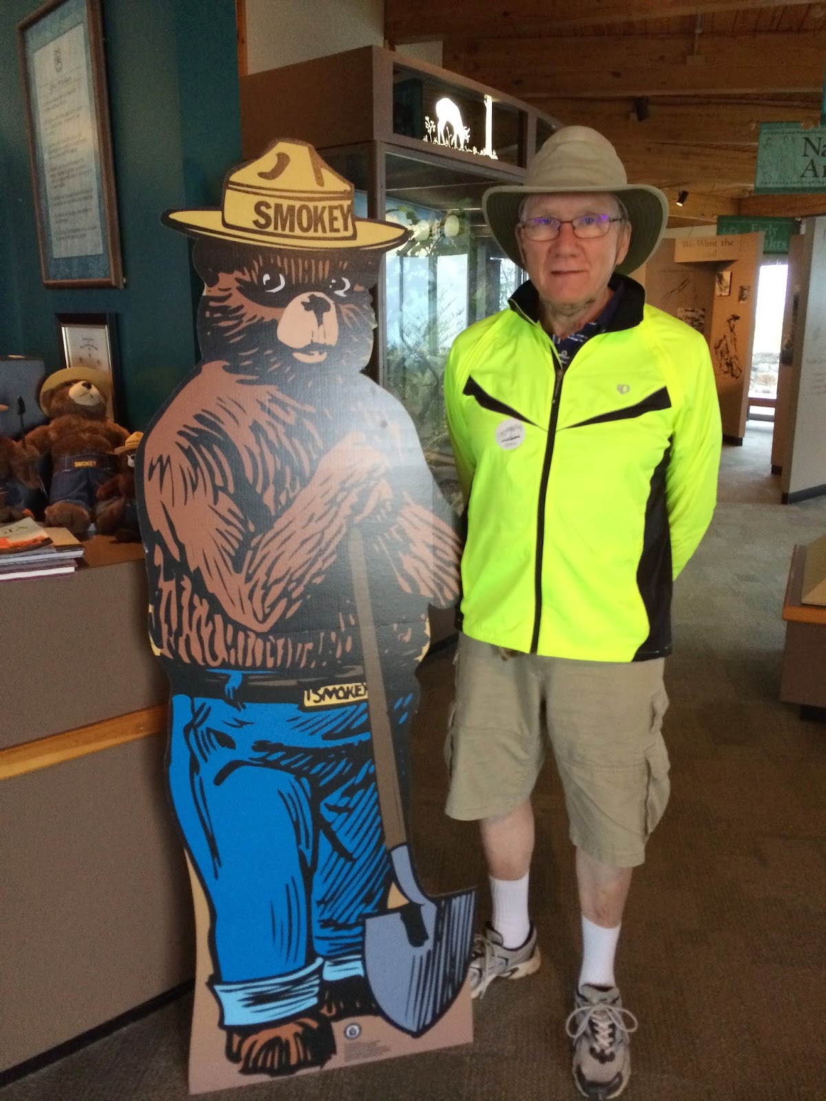
Frederick and friend in the Forest Service information center. Frederick is wearing his biking jacket because Bill told us we would need jackets because it was cold at the top. Fortunately we found a jacket in the car.

A somewhat creepy semi-animated figure that moved his head and blinked his eyes and moved his mouth as in speech. You pressed a button on the wall and he spoke to us about the early days of the Forest Service in the Chattahoochee National Forest.

An exhibit in the Information Center.

A Forest Service campground where we found a nice place to eat our lunch on the way down the Scenic Byway.
Yesterday morning, at the base of Dukes Creek Falls, we met a couple that told us about the town of Dahlonega and the Dahlonega Gold Museum, a State Historic Site. So after completing the Scenic Byway and eating our lunch we set out on a drive of thirty + miles to Dahlonega. The Gold Museum is housed in the 1836 Lumpkin County Courthouse building which is the oldest surviving courthouse in Georgia. The architecture of the two-story structure is Federal with Greek Revival influences and it took almost two years to complete. The bricks were hand made from clay dug from nearby Cane Creek and reveal trace amounts of gold. The outer walls are solid, ranging between 24 and 22.5 inches thick.
The second floor of the building served as the county courtroom and in 1965 when a new, modern courthouse was built just down the street, local citizens convinced the Governor to save the building and it is now the Dahlonega Gold Museum and on the National Historic Register.
This area is the site of America's first major gold rush in 1828, pre-dating the California gold rush by 20 years. At the time the Cherokee Indians refused to cede their north Georgia land to the U.S., and on June 1, 1831, the state government assumed ownership of the Cherokee Nation lands. The next year, the land was distributed by a statewide lottery and any Cherokee Indians still living on the land were rounded up by federal troops in 1838 and forced to march to Oklahoma on the infamous Trail of Tears. The word Dahlonega comes from the Cherokee word "dalanigei", meaning "yellow money" or gold.

The beautiful Dahlonega Gold Museum. The entrance is on the right side of the building.

View of this charming town from the second story porch between the two white pillars ( pictured above).

The Museum had a wonderful minerals collection that reminded us of the minerals that Peter has given us. Peter, are there "Fairy Cross" minerals in the collection? (I don't know why the picture is upside down!)

I think we also have some "peacock ore".

A huge quartz crystal.

I just had to take a picture of these garnets that look just like the ones Peter dug up in Connecticut and Canada.
Once again I thank the Alpine Helen Public Library for their internet service.
Yes, you have a stauralite that's about a centimeter long on each bar of the cross; I found you one where the cross is nearly 90 degrees :) I'm glad you found a neat museum to visit. And that animatronic guy does look really creepy...
ReplyDelete