We have been anticipating the Wilcox Pass Trail since we went on the Burgess Shale hike at Stanley Glacier and one of the rangers recommended the hike which is on the Icefields Parkway. We have just about completed the hikes we wanted to do near Jasper, Maligne Lake and Miette (pronounced mee-YETT) Hot Springs. Even though it is over an hour drive to the Icefields Center, our Jasper campground is the closest location to the trailheads.
Tim considers Wilcox Pass to be a beautiful hike and one everyone visiting the Canadian Rockies should see.

Our elevation gain today was 355 meters, or, as the Fitbit recorded, 188 floors; the hike was 6.25 miles.

It was one of the "rootiest" trails we have taken - a tripping hazard with every step - and it's harder coming down than it is going up.

About 2 km up we reached the tree line and entered open meadows which opened up great views. That's the Athabasca Glacier and you can see the road at the bottom of the picture.

The Park Service had placed two of their red chairs at a ridge overlooking the Columbia Icefield Centre and Mt. Athabasca. Just so you all know, Frederick spent all of 10 seconds sitting in the chair, just long enough for me to take this picture.

Up at the pass summit the views are stunning. Here's the Athabasca Glacier.
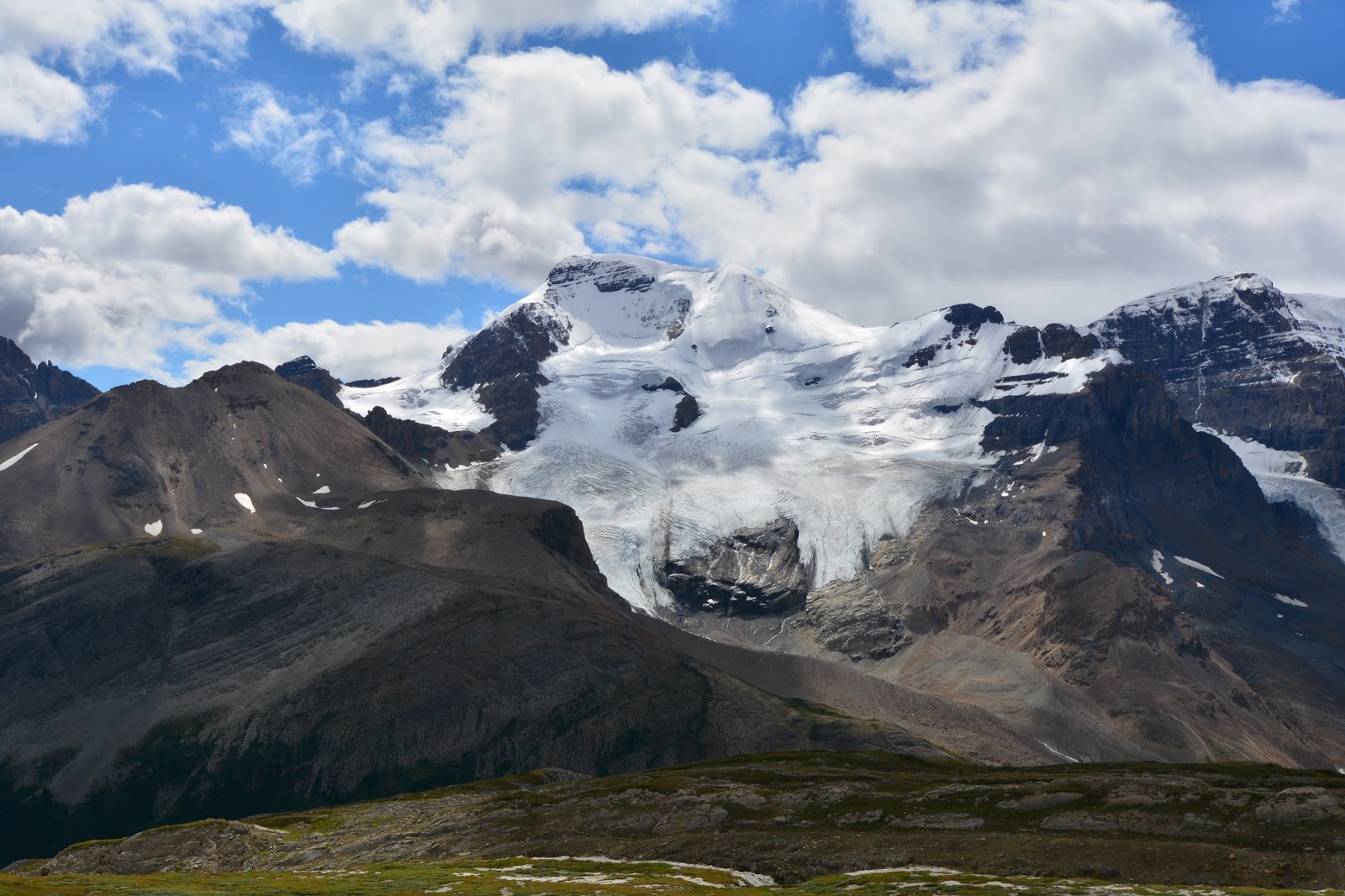
Mt. Athabasca and Mt. Saskatchewan with the Saskatchewan Glacier.

Alpine valley at Wilcox Pass.

Brazeau Range on the other side of the pass.

Looking south with the Icefields Parkway in the valley.

We took a side trail over to another great viewpoint, at a precipice just above the Icefields Centre. If the people in the bottom left took 5 more steps they would be over the edge.

Great view of the Athabasca and Saskatchewan Glaciers.

Trail through the meadow, heading back down.
All of these hikes have been amazing!
ReplyDeleteI'm glad you were able to come along! They are amazing - and all different!
DeleteMom