It was another perfect day for hiking and the clouds are only now, at 7pm, beginning to arrive.
Mount Robson from the trailhead for Kinney Lake.

The trail winds through an old-growth hemlock (here a "new" growth is starting from an old-growth) and...

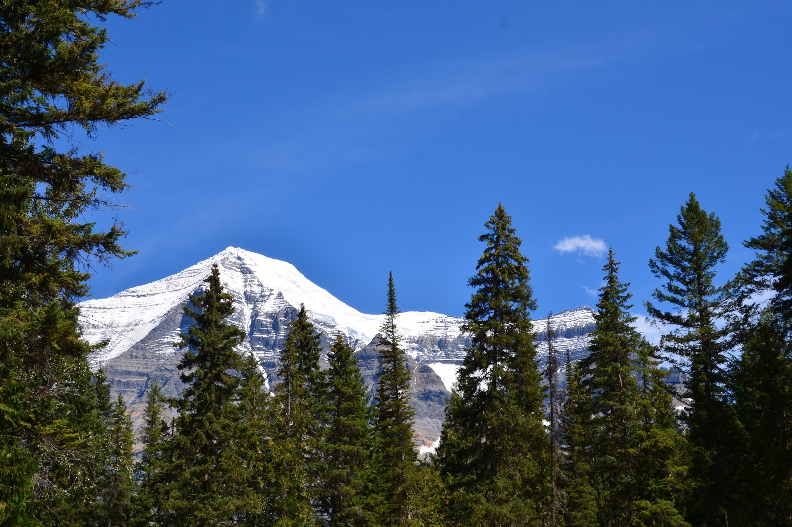
cedar forest as it follows the Robson River. That's Mt. Robson that you can just see through the trees.

Mt. Robson from the trail showing the layer-cake nature of it's bedrock and the huge gully in the mountain's face. Carved by water, falling ice and sliding snow, the gully cuts through 9,840 vertical feet of rock strata and 60 million years of geological time.

The pale-orange band of shale, at the bottom of the picture, is the Arctomys Formation, six hundred and sixty feet thick. The Arctomys shale was originally laid down as fine-grained mud and the bright color of the rock is from iron oxide. All the rock in Mt. Robson was deposited bit-by-bit in the sea during the Cambrian Period about 510 - 570 million years ago.

After about 3 miles we arrived at the Kinney Lake outlet, pictured at the bottom left.

Rounding a corner we came upon Kinney Lake.

Our lunch view.

We continued on for another 1/2 mile and saw the remains of an avalanche that has washed out the trail. We were re-routed up and over the debris.

The view across the north end of Kinney Lake.

Mt. Robson from the trail on our way back.

A face-on view of Mt. Robson from the Visitor Center.
No comments:
Post a Comment