
The trailhead was from the parking lot at Takakkaw Falls, the second-highest waterfall in Canada, which was the first waterfall.

About 1.5 miles we reached the junction with the Angels Staircase viewpoint on the right and...

Pont Lace Falls on the left.
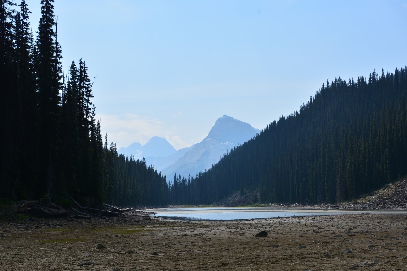
Next up was Duchesnay Lake which was a great deal smaller than it appeared on the map. The lake dries up during the summer and here we have walked to the center of the dried lake-bed to take a picture of the spectacular mountain peaks visible from the lake.

How could you resist a falls called Laughing Falls? We arrived here at about 3 miles.

At 4 miles we arrived at a trail junction, turned left, and there we could see Twin Falls in the distance.

At 5 miles we reached the Twin Falls Chalet, on the National Register of Historic Sites. The plaque reads, "This charming tea house is a well-preserved example of rustic design in Canada's national parks. The Canadian Pacific Railway constructed the building in stages.... Skillfully crafted, the enormous logs enhance the building's rustic character. The chalet remains a vivid reminder of the early days of hiking, mountaineering, and trail riding in the national parks." There was a "Closed" sign on the front door.

Instead of the Tea House we ate our lunch with this view of Twin Falls.

A spectacular waterfall, we were lucky there was so much water. The picture in Tim's book shows the falls on the right just like it is above, but with just a trickle of water on the left side.

Other mountain peaks visible from Twin Falls.

Our traditional lunch-spot companion.

Another viewpoint of Twin Falls just south of the chalet.

We opted to take the loop trail back that passes by Marpole Lake. This was the best view from the trail called the Marpole Connector. From here the trail led over a massive rockslide making for lots of high-stepping, up and down boulders - not our favorite kind of trail.

However, near the end, we did see this well-camouflaged marmot.

The Marpole Connector joined the outgoing trail at the Laughing Falls campground. Here backpacks are hoisted high to avoid marauding animals while owners are out on the trail.
All told, today's hike was over 11 miles with an elevation gain of 162 floors.
No comments:
Post a Comment