Because of the fragile nature of the ruins, and to protect the privacy of the Navajo families who live here, hiking in Canyon de Chelly is permitted only when in the company of a ranger or authorized Navajo guide. An exception to this rule is the hike to the White House Ruin. We entered the park and headed off on the South Rim Drive which runs along the main canyon and has the most dramatic vistas. The 16-mile road passes six viewpoints one of which is White House Overlook and the trailhead for White House Ruin Trail.

Overview at White House Overlook.

From the rim, using the telephoto lens, we could get a picture of the White House Ruin (you'll have to click on the picture to enlarge it), our destination.
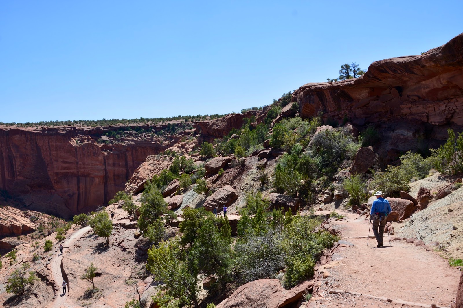
Narrow switchbacks drop 550ft down from the White House Overlook.

It's only 1.25 miles to the stupendous White House Ruin, named for a section of white-plastered wall, was begun in 1040 A.D. and was occupied until the late 13th century.

Lunch spot with the White House Ruin as our view. Much like the Navajos today, the Ancestral Puebloans grew corn, beans and squash- the Three Sisters - on the canyon bottom.

After we hauled ourselves back up the canyon walls, we continued to the end of the scenic drive to the spectacular Spider Rock Overlook. An 800ft sandstone spire that rises from the canyon floor. Atop the freestanding tower lives Spider Woman, an important Navajo god.

Our last stop was at Sliding House Overlook where we could see views of Navajo farmlands on the canyon floor and ruins on a shelf of the opposite canyon wall. The picture below enlarges the center portion of the one above, and ...

Another opportunity to use the telephoto lens and wonder, "how did they get up to those dwellings?"
Today's hike:
Length - 3.34 miles
Duration - 1 hour, 57 minutes (including lunch)
Elevation gain - 550 feet (61 floors on the Fitbit)
No comments:
Post a Comment