Blog for September 7, 2016
The Cassiar, Highway #37, is the western road south, from Tok, through Haines Junction to Dease Lake and eventually down to Prince George. But first, we took a spur road, Highway #37A, back west to an isolated Alaskan town, Hyder.
The Cassiar, Highway #37, is the western road south, from Tok, through Haines Junction to Dease Lake and eventually down to Prince George. But first, we took a spur road, Highway #37A, back west to an isolated Alaskan town, Hyder.
On the eastern fringe of Misty Fjords National Monument, at the head of Portland Canal, is Hyder (population 90). It is almost totally dependent on larger Stewart, BC (population 700), just across the Canadian border. Hyder’s residents use Canadian money, set their watches to Pacific time (not Alaska time), use Steward’s are code and send their children to Canadian schools. When there’s trouble, the Canadian Mounties ride in. We were able to drive across the border into the U.S. without stopping at a Custom’s Station. (We’re told that we will have to show our passports to get back into Canada.) We are at the frontier in Hyder, AK.

To one side was Spatsizi Wilderness Provincial Park, and...

on the other side Mount Edziza Provincial Park.

The fall foliage is...
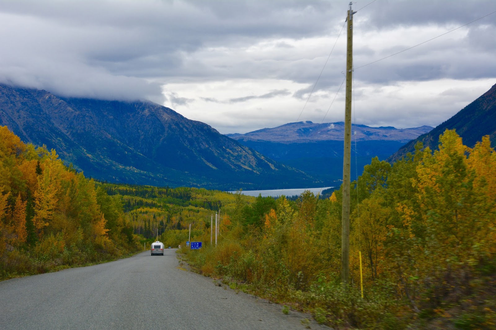
not as far advanced as it was in The Yukon.

Approaching the...

Skeena Mountains.


Traveling along the Bell-Irving River.

Approaching Mount Bell-Irving and the turn west to Hyder.

View of Bell Glacier, at mile15.2, along #37A.

At one time the glacier reached the other side of the highway. The old road is still visible hundreds of feet above the present road.

Entering...

Bear River Canyon with the Bear River rushing alongside the road.
No comments:
Post a Comment