
Along the drive to the Icefields. Frederick took these first three photos with the iPhone through the car window.


The view of the trail, down the valley, from the parking lot. Tim Jensen, author of "The Best Day Hikes in the Canadian Rockies", our go-to guide book, describes the Nigel Pass trail as "one of the best longer day hikes in the Columbia Icefield area." The trail was over 10 miles (14 km) long and took us 5 1/2 hours.

First order of business was to cross Hilda Creek to get to...

Nigel Creek which we also had to cross (both times on log bridges). The trail followed the right side of Nigel Creek.
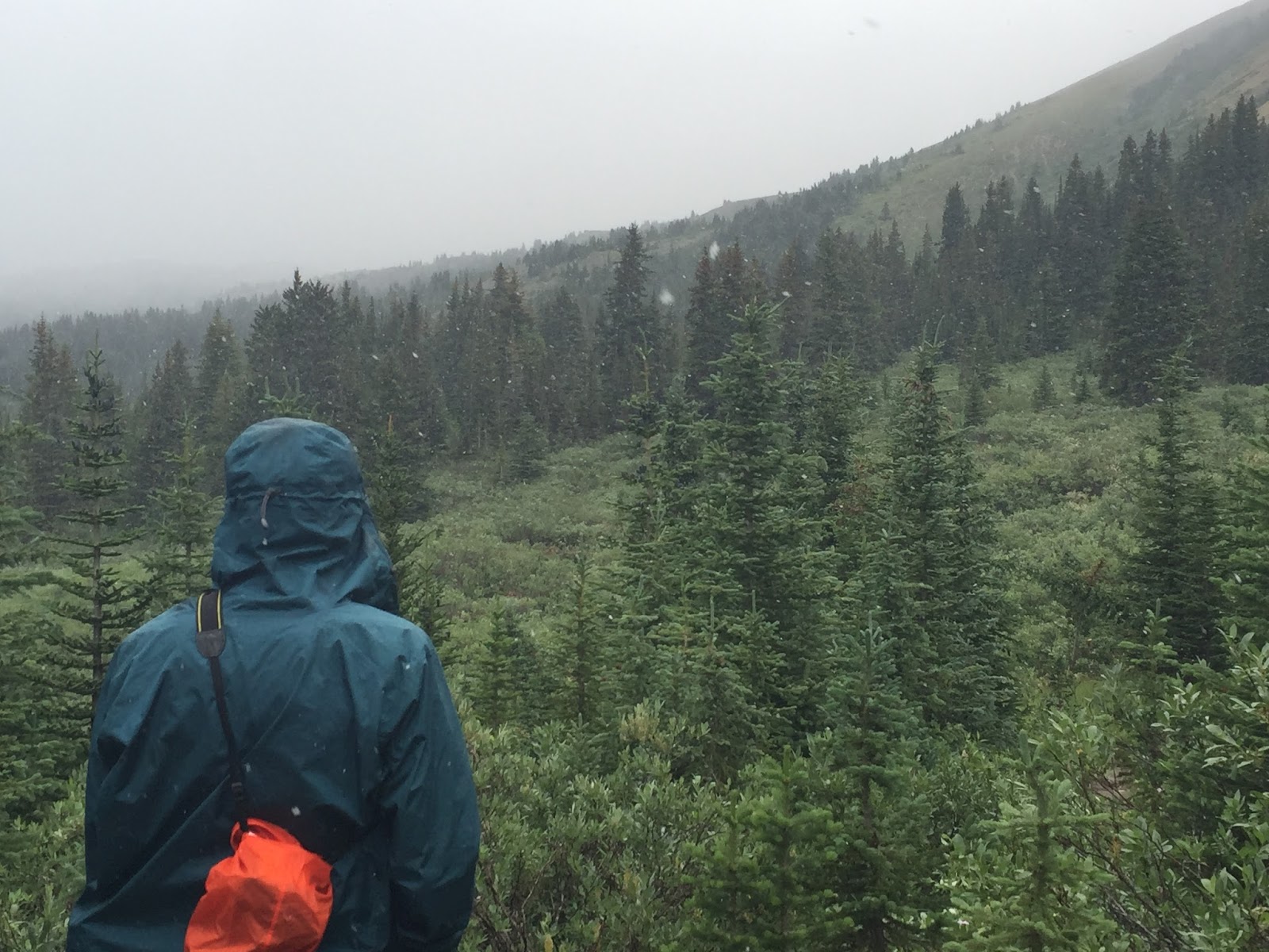
All day long there were periods of sunshine and snow. Here it is snowing as we crossed a meadow.

During a period of sunshine - the result of the snow - beautiful.

The trail was fairly open most of the way and gave us the feeling of being completely submerged in a vast gigantic landscape with majestic views everywhere we looked. It was also one of the most isolated hikes we have taken; we only encountered three other hikers.

When we reached Nigel Pass we continued down the other side for about 100 meters to the banks of the Brazeau River where...

we enjoyed our lunch and a magnificent view.

Back up at the pass there was an expansive meadow. The sign by Frederick announces that the area beyond the pass is closed. There is an active fire in Maligne Canyon and a huge section of Jasper Park is closed, including Maligne Road and Canyon.
Following are views from the Nigel Pass meadow of the surrounding peaks.


On the way back this mountain with the two glaciers were in sight most of the way.

Glacier on the left...

and on the right.
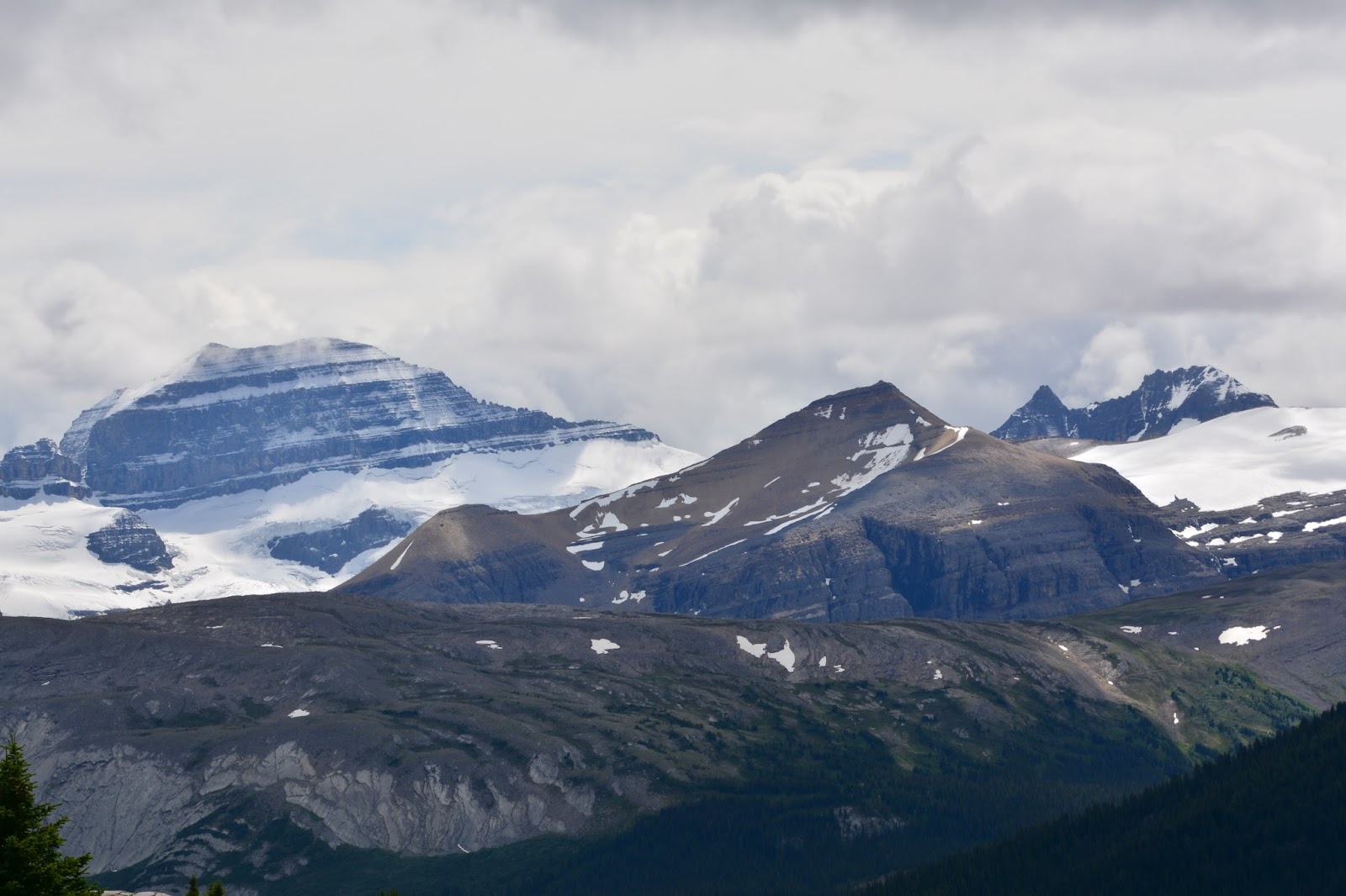
And there they both are, together.

Just before we got back to the bridge that crosses Nigel Creek we passed the site of the Historic Camp Parker. This is the place where the first hunters used to camp when they were out hunting in this area. There are some interesting carvings on the trees around the camp.

To me they look like little houses carved into the trees.

Here are two more - there are about ten all together.

Frederick about to descend the hill to the Nigel Creek crossing.

Then on to Hilda Creek. This time we noticed how "milky" Hilda Creek was. This may be glacial "flour" that turns the water milky.

A little further along we saw the confluence of the two creeks - one milky, one clear.
No comments:
Post a Comment