Monday, July 24, 2017

Wilcox Pass

Wilcox Pass is a high alpine valley just east of the Icefields Visitor Center and the Athabasca Glacier. The trail begins close to the treeline so that in less than 20 minutes we left the trees behind and entered extensive meadows and views of the Athabasca Glacier and its surrounding peaks, which are some of the highest and most dramatic in the Canadian Rockies. It is recognized as one of the finest day hikes in Jasper Park.
The drive from Whistlers Campground to the Icefields Visitor Center is 64 miles and takes one hour and ten minutes. The mountain views along the way are stunning. The picture above is of the mountain range just south of Whistlers.

Close-up of the picture above.

More jagged peaks...

along the way.

Closer to the Icefield and beginning to see glaciers.

Looking up-valley in the picture above and seeing the beginnings of a glacier.

Reaching the treeline on our hike and a cloud shrouded view of Mount Athabasca.

When we reached Wilcox Pass we continued on up to Wilcox Peak and views of Athabasca Glacier. This picture was taken just below the peak and...

here's Frederick conquering Wilcox Peak. It was cold, lower 40's and windy on the top.

We came down, just below the peak, to a protected area for our lunch. Occasionally the sun would shine and that would feel so good! This is looking south, in the general direction of Banff.

And this is north, toward Jasper. That's the Dome Glacier.

Our straight ahead lunch view - Athabasca Glacier.

Lunch view - south.

Lunch view -north.

Back at Wilcox Pass, the geology is dramatic with the sedimentary layers pushed up on end and showing perpendicular.

Heading down from Wilcox Peak to the Pass, so long and flat it is difficult to recognize it as a pass. You can see the yellow diamonds on the cairns marking the trail.

Following is a series of pictures of Mount Athabasca; here the peak is topped with clouds. That is Athabasca Glacier to the right.

Traveling back across the alpine tundra and the summit meadows. The heavily-glaciated north face of Mount Athabasca is visible to the south.

The clouds are lifting from Mount Athabasca.

Beautiful view of the trail passing through the alpine meadows above the treeline.


Heading back towards the trees.

The trail along the edge of a gully containing a small stream.

Just before we headed into the trees, we found two, red, Parks Canada chairs on an open ridge overlooking the Icefields Parkway and the Athabasca Glacier. 

Today's hike:
Length - 6.56 miles (10.4 km)
Duration - 3 hours, 45 minutes
Elevation gain - 1,639 feet (490 meters)

Sunday, July 23, 2017

Mina Lakes - Riley Lake Circuit

This hike may turn out to be our Jasper equivalent to Surprise-Corner-to-the-Hoodoos-Trail in Banff - our go-to hike when we don't want to drive very far (maybe there's threatening weather, as there was today) but we still want the exercise of a lovely and somewhat challenging trail. It begins at a back street parking area in downtown Jasper. Its's a hike to three lakes and the "Circuit" equates to "Loop".

First up was Riley Lake, this is the east end. You can see that the sky is still pretty clear.

Half way along the south shore of Riley Lake.

Half way along the shore we noticed three loons in the lake (If you enlarge the picture, you can see them, too!)

There they are together in one picture.

Telephoto lens view.

Leaving lovely Riley Lake.

Lunch spot at Upper Mina Lake. The clouds are fast approaching.

Lunch view.

As we hurried away from Upper Mina Lake it began to sprinkle so we only paused long enough at tiny Lower Mina Lake for a quick picture.

Today's hike:
Length - 5.79 miles (9.4 km)
Duration - 3 hours, 5 minutes (including lunch)
Elevation gain - 782 feet


Wabasso Lake

Wabasso is the Cree word for "rabbit," but we didn't see any on today's hike to this small but very pretty lake on the floor of the Athabasca Valley.

After rolling through a lodgepole pine forest, we climbed onto an open ridge for a fine view of mountain peaks to the south, just below the clouds that threatened rain all day.


Lunch spot on the Lake's north shore with...

the best views of the lake, its tiny island and the impressive summits of surrounding peaks to the south.

Today's hike:
Length - 5.43 miles (8.51 km)
Duration - 2 hours, 47 minutes (including lunch)
Elevation gain - 714 feet (200 meters0

Step count today: 18,614 (8.14 miles)

Friday, July 21, 2017

Valley of the Five Lakes

We've hiked to these five lakes every year we've come to Jasper. Each is a different depth and is therefore a different hue of blue-green. But this is the first year we hiked the loop completely around First Lake, by far the largest of the five lakes. In order to hike the loop around First Lake and then see the other four lakes we had to make a kind of figure 8, repeating the short section between the two loops of the 8.

Across First Lake from the half-way point on the east side of the Lake.

The loop on the west side of First Lake did not travel along the shore of the Lake. We were in the next valley with some great panoramic views of the surrounding mountain peaks.


This if the second time we passed the south end of First Lake, on the trail between the two loops of the "8". 

Fourth Lake

Third Lake

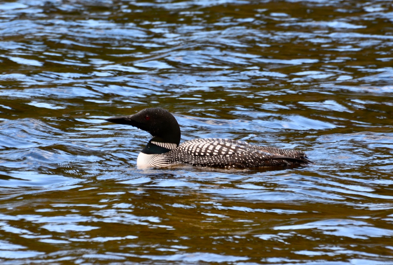
Loon on Third Lake.

Second Lake

Fifth Lake

Today's hike:
Length - 6.88 miles (11km)
Duration - 3 hours, 6 minutes
Elevation gain - 1,122 feet, 331 meters

Thursday, July 20, 2017

To Edmonton and Back

I'm guessing that most of you have had the experience, maybe it's a toothache, where you debate with yourself if you should go to the dentist (maybe it'll just get better on its own!), make an appointment, then, on the morning of the appointment, the tooth stops hurting!! Such was our experience this morning, without the toothache. We made an appointment with the closest  Mercedes-Benz dealer in Edmonton because the check engine light came on during our trip from Banff to Jasper on Monday. It continued on Tuesday and Wednesday, then this morning, as we were driving through Jasper on our way to Edmonton, Frederick noticed that the check engine light was no longer lit.

I called the dealer and talked to Tony, our service advisor, and decided to drive in to Edmonton to have it checked because the code would still be stored in the computer with the reason for the light. The code did show that it was fuel sensor #1, one of the newly installed sensors from last week in Calgary. The service department gave the sensor more "training", checked out everything else, and we were back on the road to Jasper in less than one hour. We're relieved!

There was a fair amount of smoke that obscured the panoramic scenery on the drive into Edmonton, but down on the highway we were thrilled to see a good part of the Canadian army out on maneuvers. 

What I found intriguing was that in each of these tank-like vehicles, a soldier was on alert in the turret.

More army trucks rolling through Jasper National Park.

On the drive back there were some handsome farms just on the outskirts of Edmonton, many with these bright yellow fields of canola. We saw many of these fields last year on our trip to Dawson Creek, BC, on our way to Alaska.

We also passed through a heavy rain storm about an hour into the drive back. The rain seemed to have cleared the air of a lot of the smoke and the mountains were visible as we neared Jasper town.