Sunday, March 26, 2017

Butcher Jones Trail

Saguaro Lake is a reservoir on the Salt River and the Butcher Jones trail was designed to allow land access to some shoreline spots for anglers. We saw plenty of anglers (when we asked, nobody had caught any bass, which is what they fish for this time of year) and on the way out, the trail was jammed packed - Sunday morning!

Butcher Jones most likely is Dr. W.W. Jones, according to the state historian of Arizona.  In the mid-19th century, he also owned mines in Arizona as well as a freighting business and later in life became a rancher. He apparently was fairly influential in his day, and he was friends with Jacob Waltz of Lost Dutchman Mine fame. There also was a mention that Dr. Jones performed surgeries on his dining room table, which may have led to his nickname of "Butcher" (a Parks Department employee said of Butcher Jones -' I'm pretty sure he was a doctor, but apparently not a very good one.')

It was a beautiful day, in the mid-80s, and...
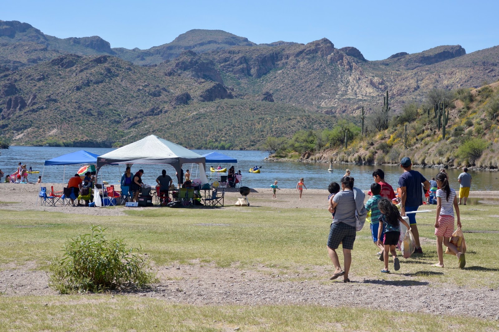
the locals were out to enjoy a Sunday at the beach.
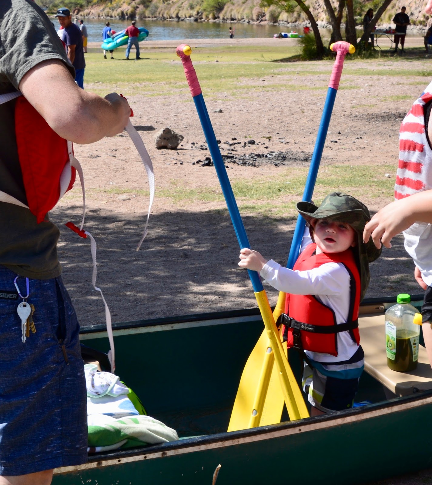
We noticed this little guy who was eager to begin his row.

Campers Cove that looks a bit like a fjord.

Lunch spot and...

lunch view - vista of the Four Peaks.

Another lunch view of Burro Cove.

Hiking back through a nice collection of desert plant life.

Rounding the corner at Campers Cove.

Many more beach-goers can be viewed on our way back.

Today's hike:
Length - 5.43 miles
Duration - 2 hours, 58 minutes
Elevation gain - 490 feet (49 floors on the Fitbit)

Saturday, March 25, 2017

Hieroglyphic Canyon

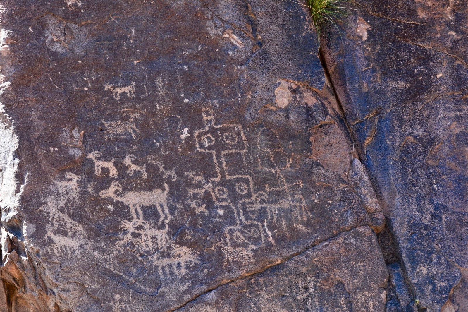
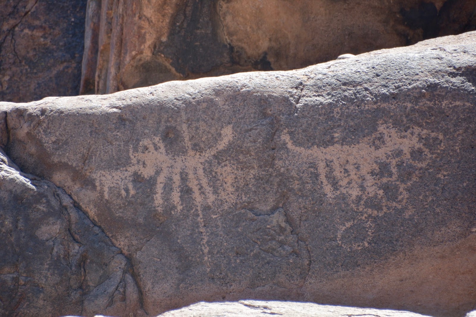
Contrary to what early settlers may have believed, these carvings on the rock walls are not hieroglyphics but petroglyphs. Hieroglyphics are Egyptian in origin and represent an actual alphabet, whereas these petroglyphs tell their stories through strictly visual means. But despite the misnomer, today's hike was an interesting one to some rock art panels in Hieroglyphic Canyon.

The start of the trail had the feel of walking through a desert botanical garden. Note the blooming ocotillo.

Close-up of the blooming ocotillo. Be sure to click on the picture to enlarge it for the full benefit!

A half-mile along the trail we came to a gate and the beginning of the Superstition Wilderness.

Our old friends hiked along with us today.

Entering the canyon with the so-called hieroglyphics are found.

Petroglyphs


Lunch spot.

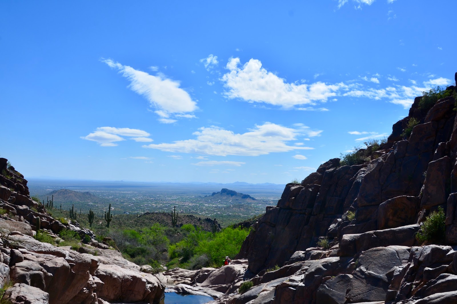
Lunch view to the south.


On the way back.

I think I've fallen in love with saguaro. Here are some rather stately examples right by the trail.


Desert in bloom.


Today's hike:
Length - 3.18 miles
Duration - 2 hours and 10 minutes
Elevation - 550 feet (58 floors on the Fitbit)

Friday, March 24, 2017

Peralta Trail

Today's hike was spectacular! The Sonoran Desert is in bloom and the Superstition Mountains provide memorable scenery including one of the most identifiable landmark - Weavers Needle. We have tons of pictures, but, I fear, the pictures cannot show the true beauty of this awesome spring hike. The butterflies, buzzing bees in the flowers and sounds of water flowing over rocks are all missing from this blog post. We were warned in the guide book that the Peralta Trail is one of the more heavily used trails in the state so we had plenty of company and met some jolly people going up and coming down. It was a good day!


Start up the Peralta Canyon

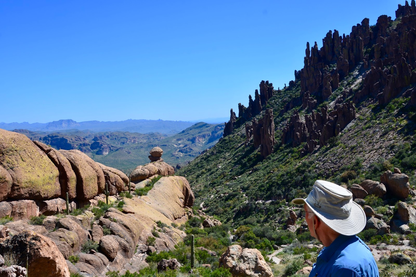
Hoodoos

I consider it a real privilege to hike among the saguaros.


Reaching the Fremont Saddle, the view to the north is one of the most spectacular in the state. Towering 1000 feet above a wilderness of rock is Weavers Needle.

Lunch spot

Lunch view

Beginning the hike down - time for pictures!


Cute little balanced rock.


Another balanced rock.


Hiking back down Peralta Canyon.


We had to drive an 8-mile gravel road to reach the trailhead. This denizen of the desert owned the road and we had to wait for him to cross before we could proceed.

Today's hike:
Length - 5.02 miles
Duration - 4 hours, 01 minute
Elevations gain - 1,180 feet (123 floors on the Fitbit)