Monday, August 7, 2017

Berg Lake trail to Kinney Lake

An hour's drive from Whistler's CG is Mount Robson Provincial Park, the largest provincial Park in the Canadian Rockies. Mount Robson itself is the highest mountain of the Canadian Rockies and Berg Lake is the most popular backpack in the Rockies, with the initial 4 miles to Kinney Lake the park's most popular day hike.

We began by crossing the Robson River Bridge with a view of Mt. Robson in the background. The trail then follows the Robson River all the way to Kinney Lake.

Most of the way we traveled through a special cedar and hemlock forest. Periodically we would emerge to an open space and catch a glimpse of the mountain.

Kinney Lake

We followed the trail along the eastern shoreline for a bit until we arrived at the Kinney Lake viewing platform where we had our lunch.

The viewing platform provided the best views of Kinney Lake and the surrounding mountain peaks.

Lunch view.

 Mount Robson on the way back.

The trail along the Robson River is through a micro-rainforest. This wonderful forest of western red cedar and western hemlock made us feel as if we were in B.C.'s coastal rain-forest. This is the farthest east in the province that this forest type appears. This unique forest results from a microclimate created by the mass of nearby Mount Robson, which "catches" weather systems and deposits moisture in this valley.

The Robson River was full and...

a pleasure to walk along. 

Enjoying the rain forest.

Mount Robson beginning to gather afternoon clouds at its peak.
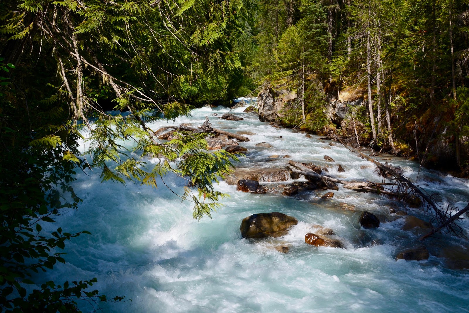
The Robson River.

Today's hike:
Length - 8.14 miles (13.11 km)
Duration - 3 hours, 34 minutes (including lunch)
Elevation gain - 878 feet (249 meters)

Sunday, August 6, 2017

Dorothy, Christine and Virl Lakes

Another new hike for us, this one is just to the west of Jasper Town.

The Trailhead was just at the side of the highway and the first thing we had to do was clamber over the railroad tracks. This trail was just idling when we crossed.

We then crossed the Miette River and headed up-valley above the river before we veered right to climb over a forested ridge.

Most of the hike was through heavy forest but we did come across Minaga Creek at 2.3 km, or about 1 1/2 miles.


Looking downstream.

A short spur trail took us to the shore of this tiny, elongated lake and views of Indian Ridge and Muhigan Mountain across the Miette Valley.

Just a quarter-of-a-mile further, back on the main trail, we reached Dorothy Lake, the largest of the three sisters. Dorothy Lake is tightly embraced by forest and quite similar in appearance to Virl, except for a lack of distant views.

Another quarter-of-a-mile on we arrived at our lunch spot - Christine Lake - with its rock peninsulas and islands.

This is a little traveled trail, we were the only ones at Christine Lake during our lunch and left when another family, from Calgary, arrived so they could have the experience of the quiet and beauty to themselves. But first, we took their picture with the lake in the background.

Lovely Christine Lake - a gem!

Today's hike:
Length - 6.04 miles (9.63 km)
Duration - 3 hours, 44 minutes (including lunch)
Elevation gain - 1,169 feet (339 meters)

Saturday, August 5, 2017

Overlander Trail

Even though it is not one of the premier hikes in Jasper National Park, the Overlander Trail was a very satisfying hike for today, after yesterday's marathon. The trail receives its name from the Overlanders - adventurous emigrants who travelled up-valley in 1862 to British Columbia's Cariboo gold fields. The trailhead is at Sixth Bridge where the Maligne Canyon Trail begins. For the Maligne Canyon Trail you cross the Maligne River and turn right. Today we turned left.

We followed the Maligne River to the left until we came to the confluence with the Athabasca River and then followed Athabasca River for 1 mile until we angled inland.

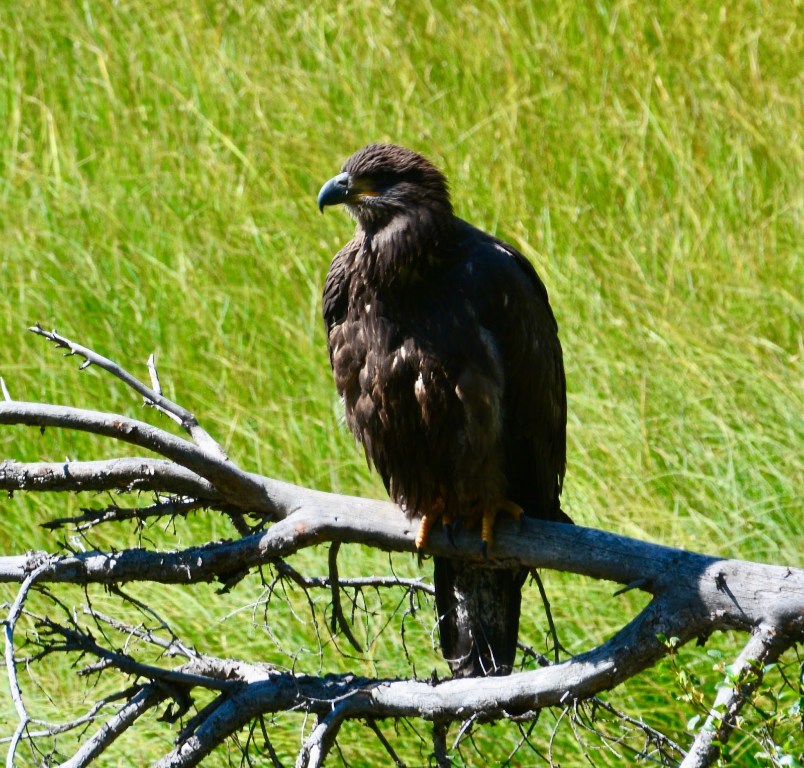
Our major wildlife find of the day was this spectacular eagle - and was it BIG!

Classic eagle post, just before it took flight. We estimate that its wingspan was six feet.

Much of today's hike was through prime montane habitat. Our lunch spot was a pleasant meadow (except for the mosquitos) with filtered views of the surrounding peaks. No lake today.

The mixed forest had several meadows with Aspen groves.

Heading back along the Athabasca River we had views of the Athabasca Valley and ...

the peaks just outside Jasper Town.

Today's hike:
Length - 7.87 miles (12.29 km)
Duration - 3 hours, 13 minutes (including lunch)
Elevation gain - 222 feet (61 meters)
Jacques Lake

A rainy day hike and one of the longest we've hiked since the last time we hiked to Jacques Lake two years ago. We donned our rain gear and as Frederick was studying the sign that announced that the first part of the trail was flooded, we were approached by a young woman who asked if she could hike with us because she was nervous about bears and hiking by herself to the campground at the end of Jacques Lake. She was carrying a huge pack plus carrying a tent and sleeping bag - she said it weighted 40 pounds.
Along the way we came upon this grouse (?) by the side of the trail. When she moved down the trail,  two little grouse were exposed, they had been sheltering under her to keep out of the rain.

It took us over three and a half hours to hike the 7 1/2 miles to the campground at the northern tip of Jacques Lake. Here's Cheyenne relieved to have made it! Maybe it was because of the rain, but there were no other campers in the campground and Cheyenne decided that she would not be comfortable there by herself. She asked if she could hike back out with us.

But first - lunch!  See the buckets hanging from the trees above Frederick's head? There are pulleys that allow  you to pull your food and toiletries up into the buckets to keep these desirable items away from the bears.

Lunch view - Jacques Lake shrouded in rain clouds.

On the way back we stopped to take a picture of 2nd Summit Lake and a field of yellow buttercups.

Frederick and I helped Cheyenne carry her gear back to the trailhead - Frederick took her sleeping bag and I carried her tent (she needs to get a lighter backpacker tent). Here Frederick is walking along a temporary trail next to the flooded trail. 

Today's hike:
Length - 15.49 miles (24.78 km)
Duration - 7 hours, 48 minutes
Elevation gain - 1,302 feet (345 meters)

Thursday, August 3, 2017

Nigel Pass

Hoping to take advantage of the clear air we drove down to the Columbia Icefield area to pick up the last substantial hike. The air wasn't quite as clear today as it was yesterday, but the closer we got to the peaks, the clearer they seemed. 

Tim likes this hike, calling it "one of the best longer day hikes in the Columbia Icefield area." Then he get s soewhat poetic - "Nigel Pass is a truly beautiful place to visit, a jewel amongst the cornucopia of pleasures provided by the Rockies. The Nigel Pass trail follows the Nigel Creek till the boundary of the Banff- and Jasper National Park. The open scenery during the majority of the trail gives you a feeling of being completely submerged in a vast gigantic landscape with majestic views everywhere you look."
Here we are, arriving at Nigel Pass and enjoying the majestic views.

Just below Nigel Pass is the Brazeau River and the Jasper- and Banff National Park boundary. Seems like a good place for lunch.

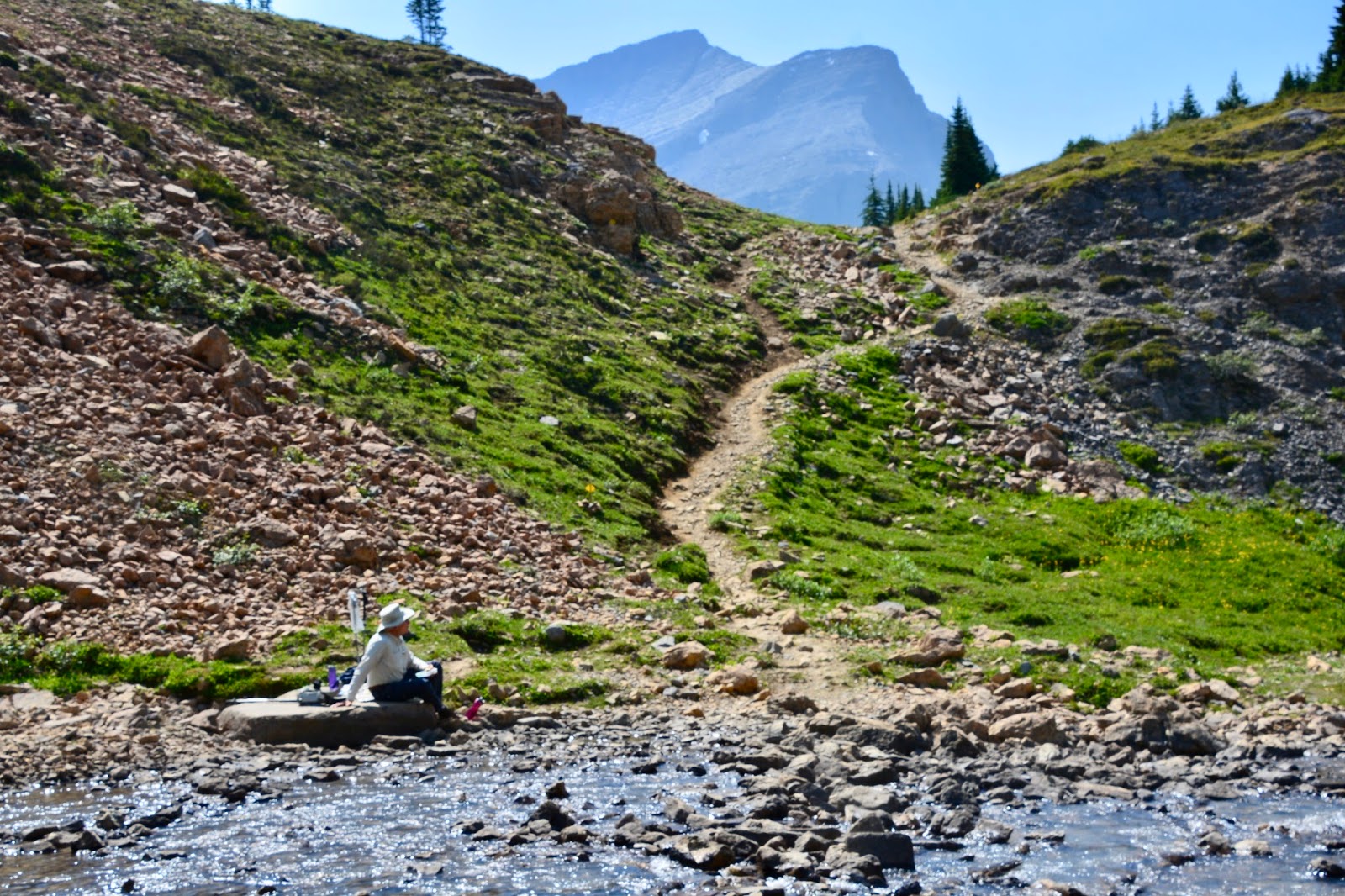
A short descent from the Pass brought us to water's edge and our lunch spot.

Lunch view north, and...

south, along the Brazeau River.

After lunch we climbed back up to the Pass and...

more views from the Pass down into the valley which...

we descended to and...

then followed the Nigel Creek back to the trailhead.

Today's hike:
Length - 10.36 miles (16.55 km)
Duration - 4 hours, 49 minutes
Elevation gain - 1.530 feet (463 meters)

Wednesday, August 2, 2017

Sulphur Skyline

Tim Jensen, you remember him - author of The Best Day Hikes in the Canadian Rockies - writes that "Sulphur Skyline is one of the greatest day hikes in Jasper National Park." We agree!  We had a perfect day for this most worthwhile hike, blue sky and crystal clear air. If fact, this is the first time we have done this hike when it hasn't been raining or cloudy and threatening to rain. It was a beautiful day!!
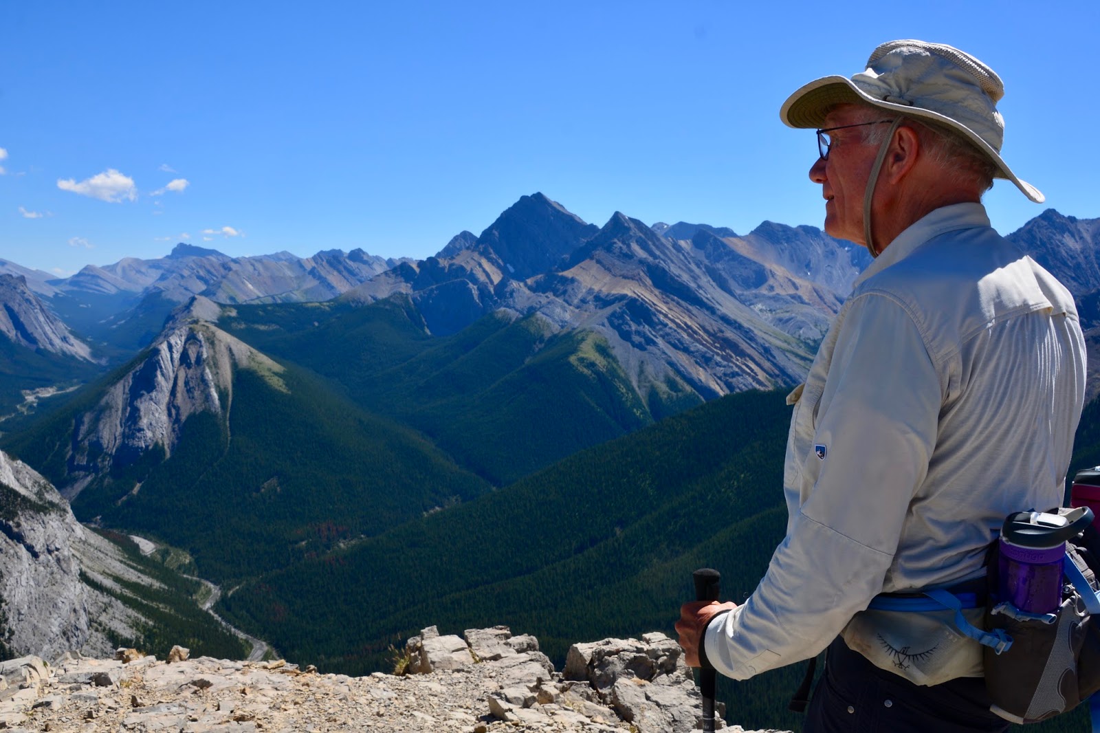
After a "challenging" climb we arrived at the summit in time for lunch. View to the left and...

view to the right.

And the view behind us.

Our lunch buddy was there to charm us.

Our lunch straight ahead.

After lunch we walked along the ridge for some more panoramic view - spectacular!

This hike, though challenging, was so worth it!

Today's hike:
Length - 6.13 miles (9.7 km)
Duration - 3 hours, 38 minutes
Elevation gain - 2,223 feet (618 meters)

Tuesday, August 1, 2017

Valley of the Five Lakes - II

Today is a BIG day, August 1, 2017, first day free of antibiotics after 14 1/2 months. I took the last dose yesterday, and even though I still have to take probiotics for two more weeks, no more Azithromycin, Rifampin and Ethambutol. I have tested negative for one year so the course is complete. We are going out to dinner tonight to celebrate because - drum roll - I can now drink alcohol again and we plan on having a glass of wine with dinner.

In order to prepare for dinner in a timely manner we decided to hike close to home and chose to re-hike the Valley of the Five Lakes.

Lunch spot on the shore of First Lake.

Lunch view of First Lake.


We found two Parks Canada Red Chairs at the end of Third Lake. You might notice that, even though it is cloudy today, the smoke has cleared. We think that is because the wind has shifted, coming from the northeast instead of blowing the smoke from BC from the west. 

A better picture of Frederick on the dock on Fifth Lake.

Today's hike:
Length - 5.78 miles (9.27 km)
Duration - 2 hours, 59 minutes
Elevation gain - 879 feet (243 meters)