Thursday, May 24, 2018

Utah Canyons And Wyoming Geo-Sites

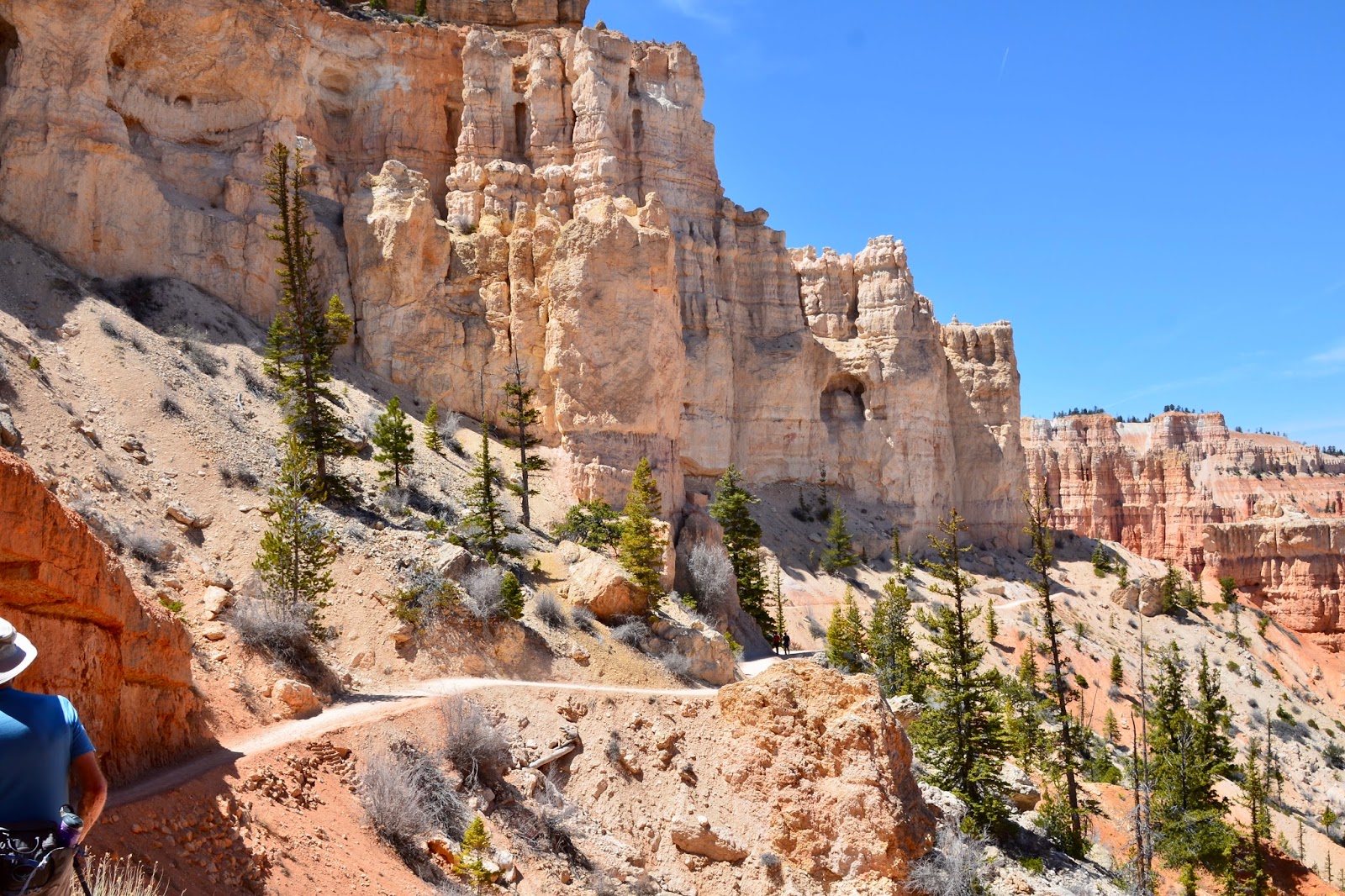
The first three weeks of May were spent in the Salt Lake City area - Provo to the south, Brigham City to the north - where there were some great hikes in the canyons that surround the area.

The last day of April, we climbed to the "Y" above Brigham Young University in Provo.

The bottom of the trail had rain but when we got to the top of the "Y" it was snowing.

View over Provo to Utah Lake on the "Y" trail.

Sundance is above Provo and we drove up to the ski area for the Stewart Falls Trail.

Lovely Stewart Falls.

Up the Provo Canyon is Big Springs Hollow where there is a...

natural spring flowing from the mountainside. Notice the early spring foliage.

When we moved north to Brigham City we were close to Logan and the Logan Canyon hikes.

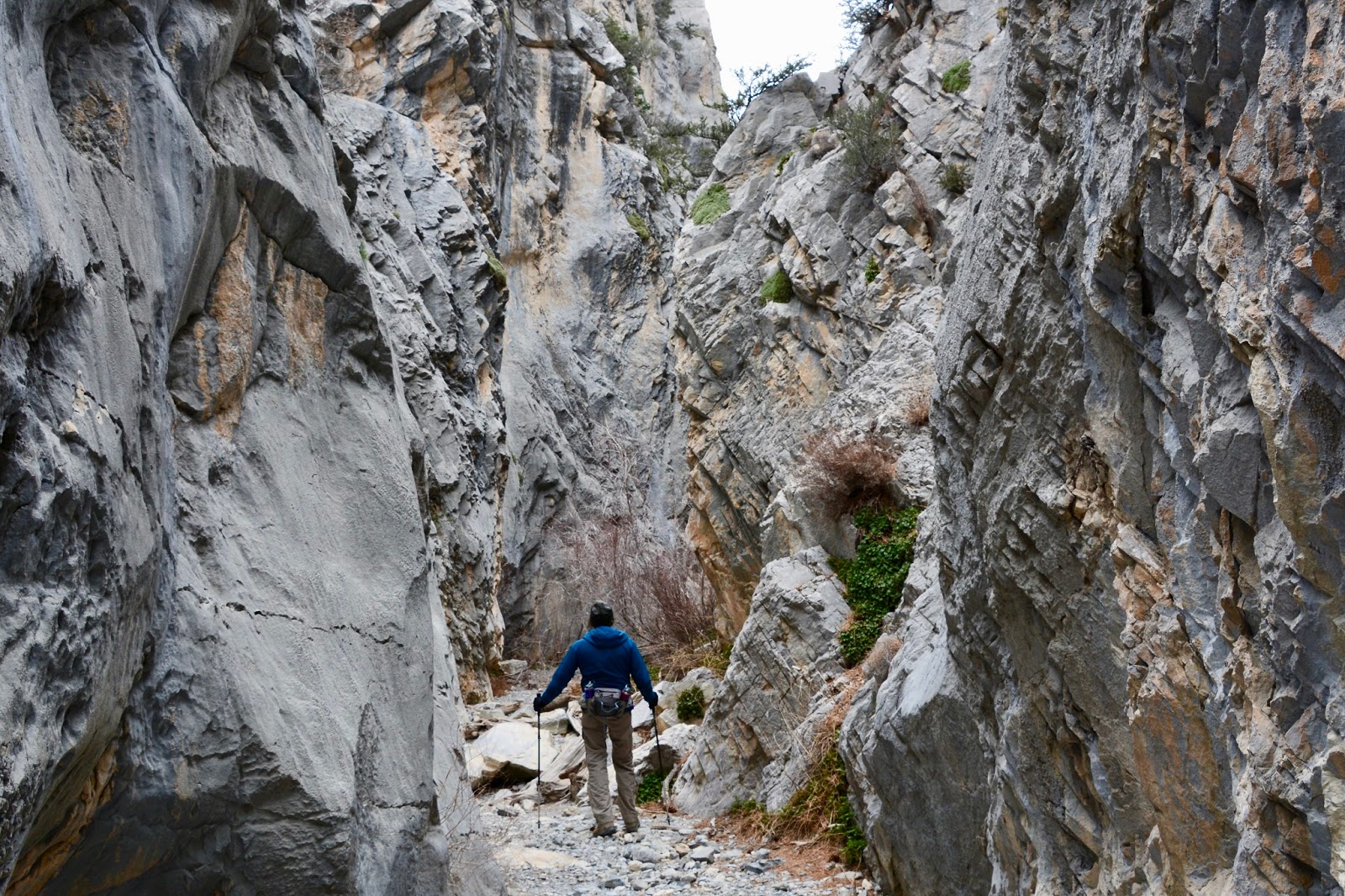
One of the premier hikes is to the Wind Caves.

Wind and water erosion have created delicate arches and natural caves in the limestone outcropping. 


On the top of the caves.

From the Wind Caves trail is a view across Logan Canyon to a formation known as the China Wall.

The day after hiking to the Wind Caves we hiked the Crimson Trail which travels along the top of the China Wall.

Looking down Logan Canyon from the Crimson Trail.

From the China Wall we could look across Logan Canyon to the Wind Caves at the left side of this limestone outcrop.

Up a canyon above Ogden was a beautiful hike up the Waterfall Canyon trail. The trail follows a creek up a deep canyon. The waterfall was very full this time of year.

Looking back down the canyon to the city of Ogden.

Further up Logan Canyon we hiked the Willow Creek Trail that travelled past...

several beaver ponds.

On Monday, May 21, we moved on to the southwest corner of Wyoming where there are two geo-sites.

From Fort Bridger, where we camped, we drove up to Fossil Butte National Monument. Fossil Butte is unequaled in the world as a depository of a diverse assemblage of Paleogene-age flora and fauna.

We are currently in Rock Springs, ten miles from Green River where there are several towering formations including this one referred to as Tollgate Rock. Petroleum is locked in the darker shale beds of the formation.


Sunday, April 29, 2018

A Week In Utah

We had some great hiking near Las Vegas, but it was getting just too hot! Mid-90s, even with low humidity, can be uncomfortable and is not good hiking weather. North to Utah!


Our first stop was in Beaver, Utah - within driving distance to Zion National Park's western unit; Cedar Breaks National Monument; Parowan Petroglyphs & Dinosaurs Tracks; and, Bryce National Park.
(Please remember to click to enlarge the pictures!)

Starting out on the Taylor Creek Trail to Double Arch Alcove in Zion National Park. (Tuesday, April 24)

Sharing the trail!

Beautiful Double Arch Alcove at the end of the trail.


Cedar Breaks National Monument overlook. (Wednesday, April 25)

This is as far as we could go because the road was blocked by snow.

Back down the road we hiked to a slot canyon with waterfall.

Outside of Parowan is one of the world largest collection of petroglyph panels and...  


dinosaur tracks. 

View of Bryce Canyon from Bryce Point trailhead. (Thursday, April 26)


We are now in Provo, home of BYU.  Today we hiked a portion of Provo River Parkway Trail to Bridal Veil Falls. Note that there are two major falls segments, one in the picture center and one near the horizon. The elevation drop of  the two combined is very impressive. (Sunday, April 29)

This week's hikes:
Length - 19.27 miles
Duration - 10 hours, 23 minutes
Elevation gain - 2, 681 feet 

Friday, April 20, 2018

Base Camp Las Vegas

Greetings and happy spring! We know that many of you are still experiencing the last gasps of winter, but, since we've returned from our Easter break, we've been enjoying beautiful blue skies, excellent hiking weather and the occasional need of air conditioning. 

There's a lot to catch up on. On March 18 we went on our last hike in Joshua Tree National Park.

Split Rock Hike

Tulip Rock along the Split Rock trail and...

Face Rock, a reminder of Old Man of the Mountain in New Hampshire.

Death Valley -

First stop, Shoshone, CA, where the Shoshone pupfish, once thought extinct was visible in several pools above the town. Tiny, about 2 - 3 inches, and bright blue.

Beautiful views in Death Valley from Zabriskie Point.


Along Artist's Viewpoint drive


Badwater (3/21/18)

Mosaic Canyon (3/23)

Golden Canyon/Gower Gulch Loop (3/24)


On to Las Vegas (it turns out there are some great hikes near Las Vegas!) -
Along Lake Mead - Historic Railroad Tunnel Trail (4/15)
approaching the first of five tunnels on along the Railroad Trail.

At the end of the Historic Railroad Trail is Hoover Dam and this Memorial Plaza.


Hoover Dam

Red Rock Canyon National Conservation Area

First Creek Canyon (4/16)

Along the White Rock Hills Loop trail (4/17)


This next section of pictures is out of sequence, we hiked along the Las Vegas Strip on Saturday, April 14, from Treasure Island where we parked to the Bellagio.

Conservatory & Botanical Gardens at the Bellagio.


Dale Chihuly flowers at the Front Desk of the Bellagio.

Spring Mountains National Recreation Area (4/19/18) -

North west of Las Vegas are the Spring Mountains, several thousand feet higher in elevation and 20- 25 degrees cooler. In fact, we hiked in our winter jackets, hats and gloves.

 Fletcher Canyon ends as a slot canyon and someone with long arms can touch both sides.


On the way back down it began to snow.

Built by the civilian Conservation Corps in the late 1930's, the River Mountain Trail in Boulder City is one of the best-loved hiking trails in the Las Vegas area. The main attraction is the summit for far-reaching panoramic views of Las Vegas, the Spring Mountains, Lake Mead, and Boulder City.

Many blooming prickly pear.

Lake Mead from the summit of Black Mountain.

Las Vegas and the Springs Mountains in the distance.

Seven days of hiking out of Las Vegas, April 14-20-
Length - 34.63 miles
Duration - 18 hours, 18 minutes
Elevation gain - 5,192 feet (the equivalent of climbing the Empire State building 5 X's)