Sunday, October 23, 2016

Cascade Head Trail

The Cascade Head Trail is one of the best known trails on the North Central Oregon coast, providing sweeping views on the Pacific Ocean from a high promontory.

Our lunch view after climbing to the top of Cascade Head.

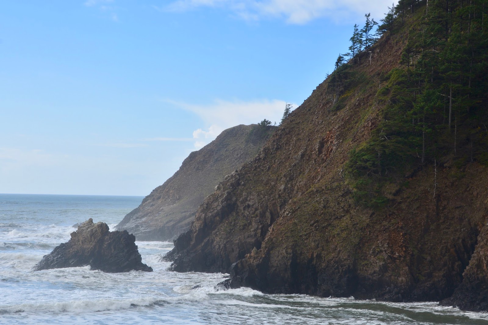
Close-up down the coast.

The "Lower Viewpoint" promontory on Cascade Head.

The view from half-way down the Cascade Head Trail.

We met these cheerful people (from Chico, CA) as we were climbing up, and they were coming down, to the top of Cascade Head and again at the bottom of the trail that passes through a Sitka Pine forest.

We saw lots of evidence of large animals on the grasslands of Cascade Head and then, as we were driving back to the main road, #101, we came upon this large herd. There were over 50 elk that I counted.

Today's hike:
Length 4.9 miles
Duration - 2 hours, 35 minutes (including lunch)
Elevation gain - 1,230 feet (123 floors on the Fitbit)

Beverly Beach

Hidden in a rain forest, Beverly Beach State Park's creekside campground is one of Oregon State's largest, and the campsites are just steps away from the ocean beach. We hiked the perimeter of the park, along Spencer Creek and out onto the beach for today's hike.

The park is on the east side of highway #101 so we had to cross under the road to get to the beach.

Today being Saturday, there were lots of folks out on the beach flying kites, exercising their dogs and just walking along the firm-packed sand, as we did. This is looking south along the beach towards Newport, Oregon.

Looking north. That's Spencer Creek flowing out of the park and into the Pacific Ocean.

We walked more than a mile south, down the beach and got this picture of the lighthouse at Newport.

Look familiar? This female has more orange than Prince did, but the head and face are very similar. We notice that most dogs are walked with this type of harness rather than a collar.

Today's hike:
Length - 4.5 miles
Duration - 1 hour, 57 minutes
Elevation gain - 90 feet (10 floors on the Fitbit)

Friday, October 21, 2016

Fort Clatsopon the Fort to Sea Trail

Blog for October 20, 2016

Fort Clatsop is a replica of the 1805-06 winter quarters of the Lewis and Clark Expedition. They remained at the Fort from December 7, 1805, until March 23, 1806. Of the 106 days the explorers spent at the fort, it rained every day but 12, and the men often stayed indoors. 


Bronze statue of Sacagawea at Fort Clatsop.

This replica of Fort Clatsop was built in 1955 largely from a floor plan with dimensions that William Clark drew on the elk skin cover of one of his journals. 


We hiked a portion of the Fort to Sea Trail, as far as Scenic Overlook.

Back at home, we took the short walk to the beach that is adjacent to our campground.

It was just past sunset.

Today’s hike:
Length 2.32 miles
Duration - 1 hour, 32, minutes (including lunch)

Elevation gain - 310 feet (31 floors on the Fitbit)

Traveling the Oregon Coast

We left Cape Disappointment in Washington State, crossed the Astoria Bridge one more time, and traveled 140 miles down the Oregon, about 1/3 of the way, to Beverly Beach State Park, just north of Newport, Oregon. We are traveling the coastal route #101, a slow, twisty and, in places quite mountainous, but with gorgeous coastal scenic views.

Love the sea stacks!


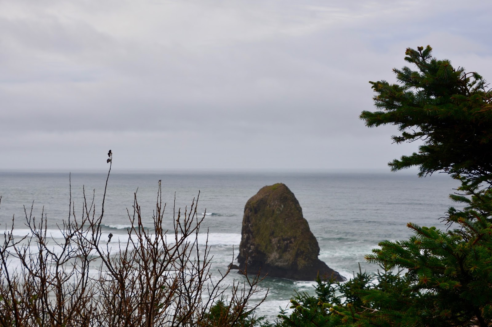
According to the roadside sign at the scenic overlook, the sea stack on the right is called Castle Rock.


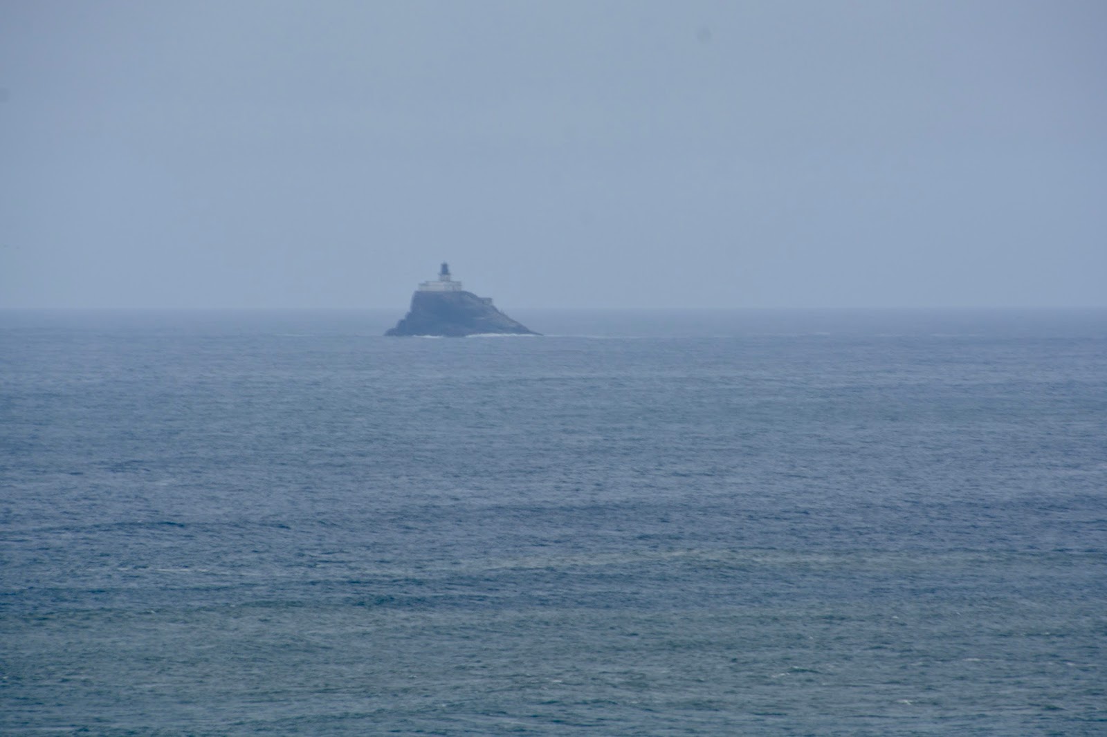
This lonely light station in the distance, clinging to the top of a sea stack, is Tillamook Rock Lighthouse. Called "Terrible Tillie" in its glory days, this light station presented a harrowing construction project (it took 525 wretched days of construction, 1879-81), and for lighthouse keepers, one of the most demanding posts on the West Coast. 

Along the way, the odometer turned over 77,777 miles. It was a lucky day!


Thursday, October 20, 2016

Cape Disappointment Trail

We visited two lighthouses today - the first, this morning, was North Head Lighthouse.The short hike out to the lighthouse was a continuation of the trail we took on Monday, when we first arrived at Cape Disappointment State Park. But, it was late in the afternoon Monday by the time we arrived at the lighthouse parking lot, so we decided to hike back and return at another time to actually visit the lighthouse.

Located adjacent to Cape Disappointment State Park is the Cape Disappointment Coast Guard Station, home of one of the largest search and rescue facility in the state and the Coast Guard's only heavy-weather Motor Lifeboat School. This morning, the Coast Guard were at the North Head Lighthouse, practicing.

When we arrived at the parking lot and began hiking out to the lighthouse, we could hear a definite roar. "It sounds like a helicopter", said Frederick. And sure enough, there it was!


As we walked closer, we were approached and asked to wait before we continued because the practice involved the helicopter bringing the "victim" to the shore and it would soon become "very windy" where we were walking. (While we waited we noticed that the support guys were also enjoying a bag of chips - maybe it was breakfast.)


Views to the south, across the mouth of the Columbia River, to the Oregon coast.

Jetty that protects the navigation route into the mouth of the Columbia River.

North Head Lighthouse

View below the North Head Lighthouse.

View to the north - Long Beach, 25 miles of hard sand beach.

We also spent a good deal of time trying to find a spot to watch the debate tonight. With no internet access, we couldn't stream it on our computer at the Airstream. We asked at the Ranger Station and at the library and both suggested a sports bar in Long Beach, the next community up the peninsula. We drove up there but were told that they would not be putting the debate on any of their TVs. We tried the local Best Western Hotel, but they said we could not watch it in their lobby if we were not guests. We reluctantly concluded that our only option would be to return to the library, which would be closed, and to sit on the bench near the front of the building and watch on our computer sitting outside the library. 

Before we returned to town for the evening debate, we hiked, on the Cape Disappointment Trail, to the Cape Disappointment Lighthouse.

Along the Cape Disappointment Trail is the Lewis and Clark Interpretive center - this is a view of the Cape Disappointment Lighthouse from the center.

Charming little bay along the trail.

View of the Lewis and Clark Interpretive Center from the lighthouse.

Jetty at the mouth on the Columbia River.

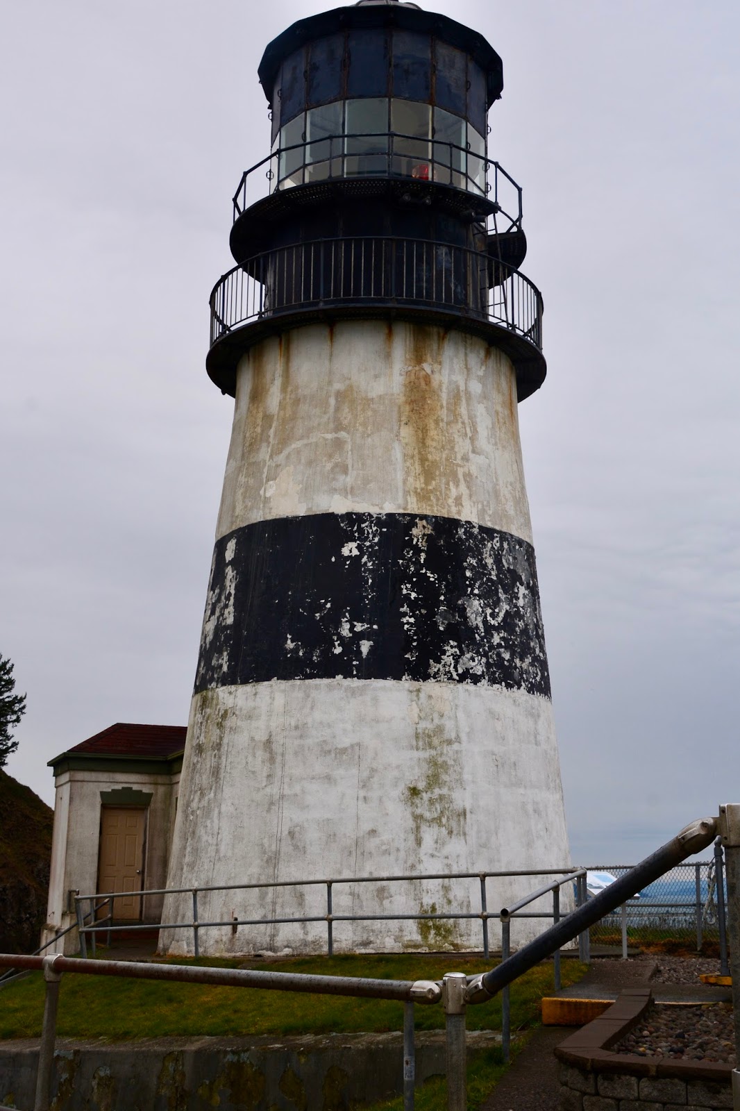
Cape Disappointment Lighthouse. There is an adjacent building with Coast Guard staff that monitors the weather at the mouth of the Columbia River.

Today's hike:
Length - 3.8 miles
Duration - 2 hours, 28 minutes
Elevation gain - 670 feet (74 floors on the Fitbit)


Wednesday, October 19, 2016

Tillamook Rock Lighthouse Trail

Blog for October 18, 2016

In 1806 Captain Clark and 12 expedition members, including Sacagawea, crossed Tillamook Head, which Clark called “the Steepest worst & highest mountain I ever ascended,” to see a beached whale. With that endorsement, we headed to the southern most part of the Lewis and Clark National and State Historical Parks, across the Columbia River at Astoria, and 25 miles down the coast of Oregon.

Bridge across the mouth of the Columbia River, to Astoria, Oregon.

Close-up

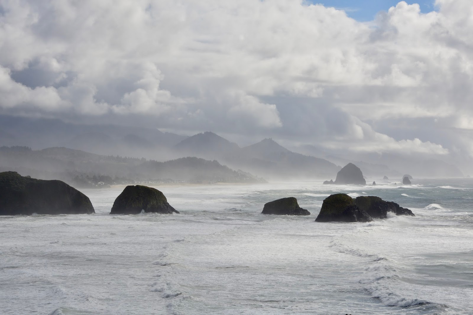
Tillamook Head, and the site of the beached whale (winter 1805), is located in Ecola State Park. This is our lunch view of the coast line.

Close-up of the sea stacks.

Crescent Beach with adjoins Cannon Beach where the whale was beached.

Close-up that shows and nice waterfall onto the beach.

Also from the viewpoint at Crescent Beach we could see the Tillamook Rock Lighthouse.

We then drove further north to the Indian Beach trailhead of the Tillamook Rock Lighthouse Trail. Nice sea stacks - one even has a hole in it, on the right.
View north up the coast, where we will be hiking.

No pictures on the way up, but at the top was a Hiker cabin and…
an overlook to the Tillamook Rock Lighthouse.

More coastal views at the overlook and on the way back down the trail.


Back at Indian Beach.

Close-up of Indian Beach.

Today's hike:
Length - 3.03 miles
Duration - 3 hours, 23 minutes
Elevation gain - 850 feet (94 floors on the Fitbit)