Thursday, July 23, 2015

Old Fort Point Loop

A  special - relaxed - day for a special guy. Happy Birthday, Frederick.

After yesterday's arduous trek up Sulphur Ridge we chose the Old Fort Point Loop trail which is a fairly short and simple hike offering great views of Jasper National Park around Jasper townsite. Old Fort Point is a prominent bedrock hill standing about 400 feet above the Athabasca River that runs right through the town of Jasper. The name, Old Fort Point, refers to Henry House, which was a company cabin built by the North West Company in 1811.

We parked in town and walked about a mile to the trailhead, using three bridges to cross the wide, shallow, gravel flats of the Athabasca River before it flows north to the Arctic.
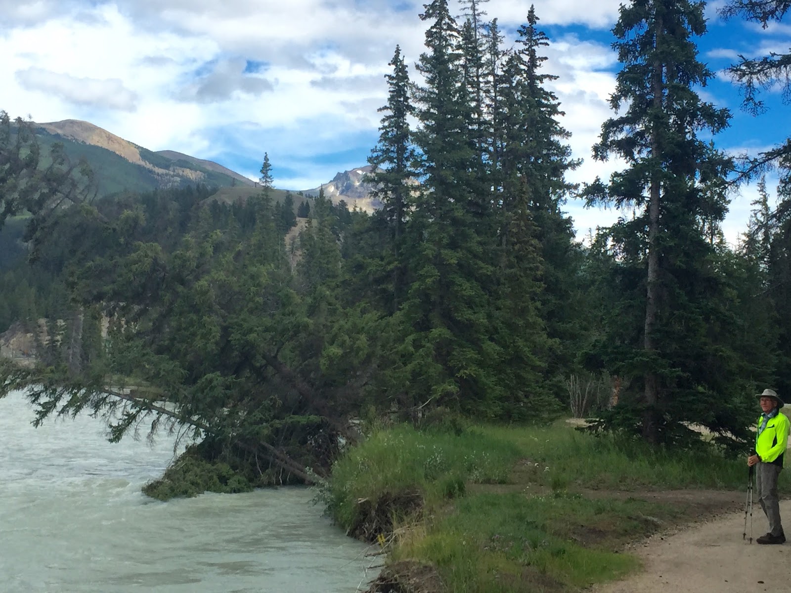
This is what happens to trees that grow too close the the river.

As we entered the forest alongside the river we encountered this elk enjoying her afternoon snack.

These folks were enjoying rafting down the Athabasca.

We passed through this lovely grove of Aspen.

At 3 km we climbed a very steep section to an outcrop of the oldest rock in Jasper National Park. The layer is Precambrian, about 750 million years old. And, the views of the surrounding mountains are spectacular.

At various places we could see the rain falling.


The Athabasca River flowing through town.
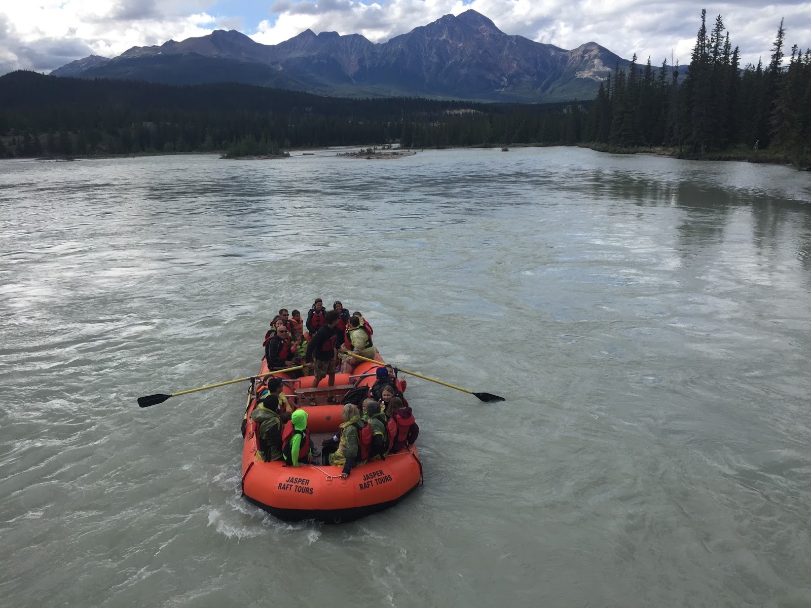
More rafting (looking a little like a rescue boat).

By the time we got back, after two hours, the elk had crossed the river and joined her friends in a small meadow.

From the window of the restaurant where we had the birthday dinner, we watched the rain come through town and the following rainbow. I took this picture and...

Frederick captured this one of the double rainbow. Very good luck!


Tuesday, July 21, 2015

Sulphur Skyline

Here's Tim Jensen (author, The Best Day Hikes in the Canadian Rockies) describing the Sulphur Skyline trail. 

     This is another hike worthwhile to be on top of your to do list. Sulfur Skyline is one of the greatest day hikes in Jasper National Park....  The start of this hike is located at Miette Hot Springs, the warmest natural springs in the Canadian Rockies. The Sulphur Skyline trail is a relatively arduous hike.... the trail brings you up to a mountain top with unobstructed views of the numerous peaks in the area. It is really a wonderful place to hike. On the way up, you may encounter a few bighorn sheep. When you return from the hike, you can soak your muscles in the Miette Hot Springs. 

Distance, 6 miles; elevation gain, 2100 ft.; level, challenging.

We didn't encounter bighorn sheep on the trail, but on the drive out of Jasper, to Miette Hot Springs, we encountered this small group garnering lots of attention. Miette Hot Springs is about a one hour drive from our campsite.

Beginning the ascent. Notice the gathering clouds.

Halfway up the mountain with the Miette Hot Springs the white patch in the center of the picture.

Just below the summit we reached a broad shoulder where there is a big, prominent, white boulder. There were several groups of hikers enjoying their lunch here. We didn't stop except to put on our rain gear which we had dutifully hauled up the mountain because all the books tell you that the weather can change quickly in the mountains and thunderstorms can develop in minutes.

Beyond the shoulder, the trail steepened dramatically, with insecure footing on loose rock which was almost as treacherous as the trail to Geraldine Lakes. We gained the summit in the rain and hail with only a moments hesitation because of thunder in the mountain valleys.

The rain cleared the summit of hikers (they didn't have their rain gear) and for a while we had it all to ourselves. As the front went through, the sun was right behind and we had the treat of seeing a rainbow below us (you just might be able to see it cresting the top of the green bump in the middle of the picture).

Being on the summit gave us 360 degree views of the surrounding mountain peaks. This is the Fiddle River valley to the southeast. 

Frederick contemplating the view from the summit with the rain passing to the north.

Patch of blue sky coming our way.

Shortly after the rain passed other hikers began to appear at the top and...

we no longer had the summit to ourselves.

We were charmed by this little creature that seemed to have the head of a red squirrel and a body of white that blended perfectly into the surrounding stone.

Another view of the rainbow below us.

Sky clearing over the Fiddle River valley.

Time to descend from the summit - that's the Miette Hot Springs complex next to Frederick's right shoulder.

Descending back to the shoulder below the summit where we left our backpack for the final push to the top. There it is, the red spot next to the white rock and...

here's a closer picture. All of the lunching groups abandoned the area in the rain and...

left a choice spot for us to enjoy our lunch. What a view!

Oh yes, when we got back we did just as Tim suggested and soaked in the Miette Hot Springs pool.

Monday, July 20, 2015

Maligne Canyon

Ever since we arrived in Jasper one week ago there has been lots of talk about the fire in Maligne Canyon and the road to Maligne Lake and Spirit Island has been closed. The first few miles of the road has now been opened and the Maligne Canyon trail has become available.

According to our personal trail guide, Tim Jensen, Maligne Canyon is the deepest and narrowest canyon in Jasper. The canyon trail follows the Maligne River as it tears through the canyon and then becomes a broad river again; it is crossed by six bridges. Most folks begin the trail from parking lots at either First or Second Bridge where the most dramatic viewing of the canyon is available from a paved path. Tim suggested that we begin at the end, so to speak, at Sixth Bridge.

Sixth Bridge with the Maligne River now broad and fast moving.

Most of the trail between Sixth Bridge and Fifth Bridge is through forested areas next to the river. It is the longest stretch of the trail, about 3 km.

It was another beautiful hiking day, in the low 70s.

Between the Fourth and Third Bridge the canyon begins to form and...

various springs begin to appear from the sides of the canyon walls. Here a spring forms a dramatic waterfall.

The Maligne River is flowing left to right at the bottom of the picture but this water source, in the center of the picture, is just coming out of the side of the canyon.

Becoming steeper and narrower.

I liked this somewhat quiet spot. Perhaps you can see the many rivulets of water falling into this pool in the upper left quadrant of the above picture.

Here's the same pool from above with the rivulets in the center of the picture.

Second Bridge

At Second Bridge, the most dramatic viewing spot, where the canyon bottom falls 164 feet below.

We had to put on the wide-angle lens to get the full drop of the river.

Around First Bridge the canyon begins to form.

Lots of interesting formations at the beginning of the canyon.

Sunday, July 19, 2015

Valley of the Five Lakes

After yesterday's adventure we were ready for a more mild hike, something that would exercise our strained and sore thighs but not add to their distress. Valley of the Five Lakes is a popular trail just 6 miles south of Jasper townsite, so with the weather near ideal (sunny and high in the low 70's, best weather so far in Jasper), the parking lot at the trailhead was full.

The trail goes through forest and meadows to a valley dotted with five small lakes, each a different depth and a different hue of blue-green.

Near the beginning of the trail, we emerged from a light forest to a meadow and a boardwalk that crosses over Wabasso Creek.

We took the trail in the suggested direction, counter-clockwise, which brought us to Fifth Lake first.

Then Fourth Lake,

Third Lake with its different depths showing different shades of blue-green, and

Second Lake (I think. Frankly, just looking at the pictures I can't tell Second, Third or Fourth Lake apart. They are all beautiful.).

Just before you turn back to the parking lot on the lakes loop, there is a 2 km spur that we took along the length of First Lake, a long, string-bean lake with bands of vibrant teal-colored water along both shores.

Since most of the hikers had taken the loop trail back to the parking lot, this part of the hike was more serene.

Our lunch spot on First Lake.

Lovely group of Aspen trees at the end of First Lake.