Friday, May 5, 2017

Two Hundred Miles in Search of Dinosaurs

Blog for May 4, 2017

Clayton is about as far east and north as you can get in New Mexico - right near the Texas/Oklahoma border. We drove the 100 miles to Clayton to visit Clayton Lake State Park where, in 1982, one of the largest and best preserved dinosaur trackways was discovered on the lake’s dam spillway. Not too long ago, the rolling grasslands around Clayton Lake were domain to the huge buffalo herds that ranged the Great Plains. Many years prior to this, dinosaurs ruled the area as indicated by a series of tracks embedded in the rock near the lake.


At least eight different kinds of dinosaurs made these trackways, including both plant eaters and meat eaters. The most common footprints show three distinct, rounded toes. Paleontologists believe they were made of different species of iguanodonts, herbivorous dinosaurs that walked on two strong, muscular legs much of the time and carried a long tail. These dinosaurs weighed about a ton, the size of a hippopotamus.The foot prints of the carnivorous dinosaurs can be identified by their bird-like tracks made by three slender claws. 
Clayton Lake State Park is near the Rabbit Ears Mountains.

Clayton Lake on a beautiful, blue-sky day.

We had to cross the earthen dam to reach the spillway where the tracks are located.

More that 100 million years ago, dinosaurs walked through here. The landscape was quite different then. Instead of a desert, there was an ocean that extended from the gulf of Mexico to the Arctic. Dinosaurs walked along the shoreline, sank into the soft sand and left their footprints.

Looking down on the dinosaur tracks.

Two different dinosaurs made these footprints. The rounded, blunt-toed prints above were made by a plant-eating dinosaur, probably an iguanodont or hadrosaur. The tracks below were made by a meat-eating dinosaur. Their tracks are much smaller in size and have a more pointed heel impression.

Dinosaurs that tromped this sandy shoreline left distinct footprints that remained long after they had passed.

Many of the footprints found in the park show a distinctive parallel-formation pattern like those made by animals that move in herds. Researchers have dubbed this area a dinosaur freeway.

The curved, tubular impressions are worm burrows. After the worm made the tube in the sediment, sand filled in the space and preserved the original shape.

This elongated track is likely from a carnivorous dinosaur that stepped in very soft sand, sinking in deep enough to create the impression of its fourth claw, otherwise known as a “dew claw”.

Look closely and you can see a curved groove between these tracks which is a tail print. Tail impressions are rare because dinosaurs usually carried their tails upright. The tail print appears where presumably the dinosaur slipped and dropped its tail to keep its balance.

The most prominent track here has the three toes and squared heel of a plant-eating dinosaur. It is a rare find. Not only are the margins of the footprint clearly defined, it shows the fine structure of the bottom of the foot .

Almost all the depressions are tracks.

Lunch spot between the lake and the tracks.

On the drive back we had this view of the Rocky Mountains…

probably located in Colorado.

Today’s hike:
Length - 1.44 miles
Duration - 1 hour, 32 minutes (including lunch and touring the tracks)

Elevation gain - 90 feet (14 floors on the Fitbit)

Thursday, May 4, 2017

Raton-Clayton Volcanic Field

Blog for May 3, 2017

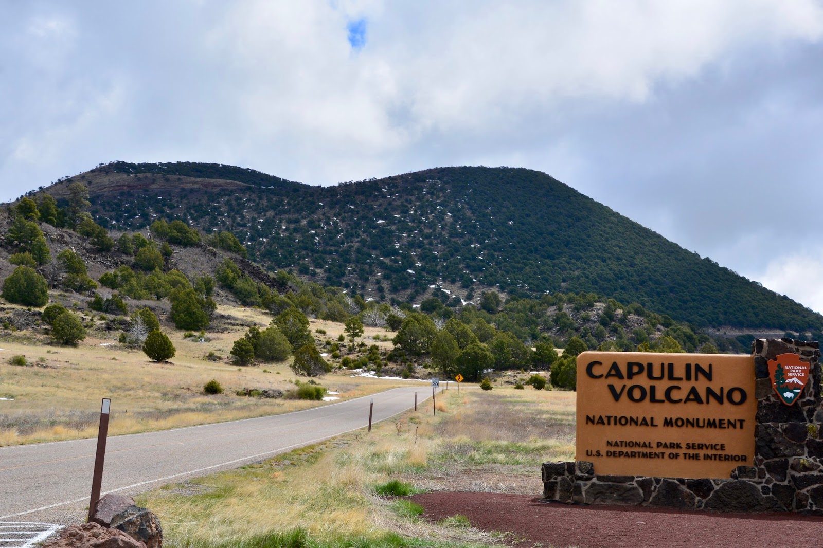
About 60,000 years ago, Capulin Volcano was built up over 1,300 feet above the surrounding plain by fountains of ash and lava. Scores of other surrounding peaks and hills were built during the same period of volcanism (who knew that northeastern New Mexico was built by volcanism?!). Because Capulin’s three lava flows erupted from vents at the base of the mountain, the peak retained a very symmetrical cone shape. In the center of the cone lies the original crater. 

From the Visitor Center a 2-mile road winds up the mountain to a parking lot just below the crater rim.
Capulin Volcano is 30-miles east of Raton.

Capulin’s birth occurred toward the end of a period of regional volcanic that began 9 million years ago. 

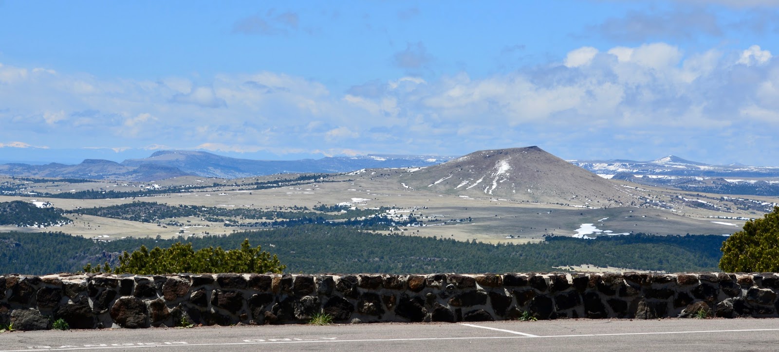
From the parking lot at the rim of the volcano you can see hills, peaks, and…

other formations from this period throughout the 8,000-square-mile Raton-Clayton Volcanic Field. 

Parking lot at the rim of the crater.

The loop trail around the rim begins and ends at the parking lot. There were still some patches of snow covering the trail.

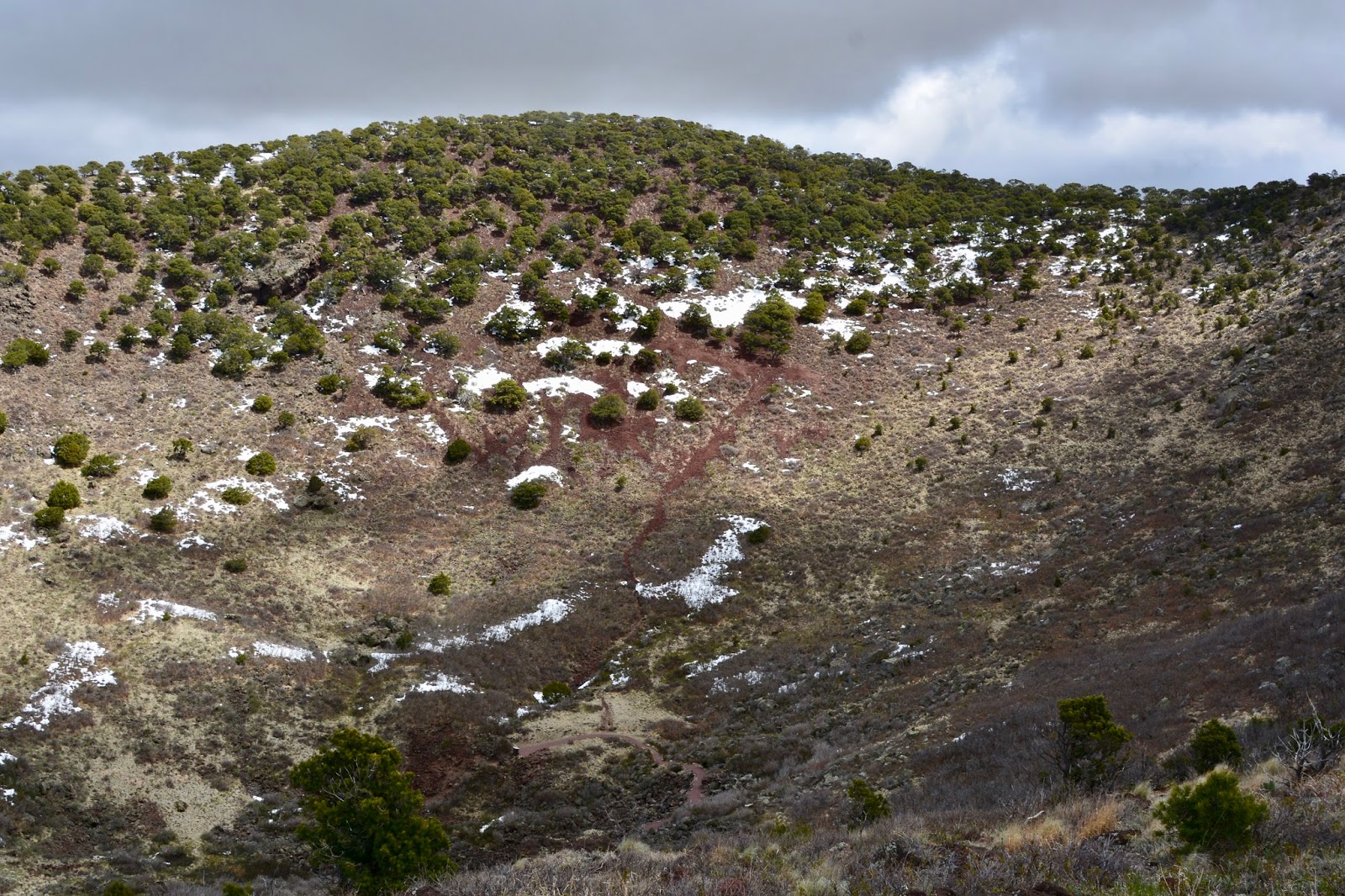
From the rim looking down into the crater. At its highest point, the rim it is 8,182ft above sea level.

Ten miles to the southeast lies Sierra Grande, the largest of the volcanoes.

The trail affords continuous 360-degree views of the surrounding plains and mountains. Supposedly, on a clear day, you can see Colorado, Oklahoma and Texas.

A half-mile trail drops into the crater.

Lunch spot on the rim of the crater.

Lunch view.  Scattered volcanic hills and mountains break up the; endless expanse.

After lunch we hiked the Boca Trail down below by the Visitor Center. In addition to a dead cow carcass (we’ll spare you) we came across this chimney that an early park superintendent had built for a campground fireplace.

Back at theVisitor Center, (yes, they know about the dead cow, but the owning rancher has to come and remove it) we had a lively conversation with Ranger Diana Hicks who was a font of information about volcanism and the surrounding area.


Five miles from Capulin Volcano National Monument is the town of Folsom and and Folsom Man Territory. In 1908, local cowboy George McJunkin, a former slave, made one of the most important archaeological discoveries in US history near the tiny town of Folsom. Spotting some strange bones in Wild Horse Arroyo, he realized that these were an extinct species of bison McJunkin mentioned his find to various people, but not until 1926-28 was the site properly excavated.


Until then, scientists thought that humans had inhabited North America for, at most, 4000 years. With this single find, the facts about the continent’s ancient inhabitants had to be completely revised. Subsequent excavations found stone arrowheads in association with extinct bison bones thought to date from 8000 BC. These Paleo-Indians became known as Folsom Man. Recent dating techniques suggest that these artifacts are in fact 10,800 years old, among the oldest discovered on the continent, although it’s now clear that people have lived in the Americas for even longer. 


Today’s combined hike”
Length - 3.08 miles
Duration - 1 hour, 53 minutes

Elevation gain - 820 feet (103 floors on the Fitbit)

Wednesday, May 3, 2017

Santa Fe Trail


Blog for May 2, 2017

Last Thursday, when we arrived in ABQ after leaving Angel Fire in the snow, we realized that we had left our Airstream step mat under the snow. We have two Airstream mats, one we purchased new last year and, would’t you know, that’s the one that got left behind. We called the RV park and asked them to retrieve it for us and hold it for us to come pick up when we were in Suguarite, 70 miles from Angel Fire. Today we drove the 70 miles and 2,000ft elevation gain along the Santa Fe Trail from Raton to Angel Fire.

In my mind, I always pictured the Old Wild West as somewhere in Texas, but, it turns out, it was right here in northeastern New Mexico. Unlike the emigrant trails that took travelers west to Utah, Oregon, and California, the Santa Fe Trail mainly handled commercial traffic moving east and west. When New Mexico became a territory of the US in 1850after the Mexican-American War, trade barriers were removed and traffic increased. In 1832 the Cimarron portion of the Santa Fe trail opened and the mountain branch, over Raton Pass, was opened in the 1840’s.

As we headed west on the Santa Fe Trail this morning, driving west from I-25 on NM #64, we passed what I thought was a Visitor’s Center for the Trail. It turned out to be the Wittington Center, founded by the NRA (National Rifle Association), probably the last place you would expect to find me visiting. The Center is no longer run by the NRA - the woman at the front desk told me the NRA was more interested in pursuing a political agenda than the educational role that is the Center’s mission - but is a private non-profit. 

On their grounds, they have something like 22,000 acres, are 17 different shooting ranges for various interests: hunter’s pistol silhouette; black powder; high power rifle; small bore rifle; practical police combat; shotgun trap; and, youth hunter education challenge, among others. There is also Whittington U with instructors and courses, mostly in defensive and precision instruction. And, they run various competitions throughout the year. Everything is done very professionally and with safety at it’s core - we had to sign a release to drive onto the grounds past the Welcome Center.


"Movie Heroes" sculpture at the Whittington Center.

Entrance road with the flags of the states.

Ruts coming over the hill - the Santa Fe Trail. It comes right through the Whittington Center.

Another sculpture called "The Scout".  It was supposed to be a resemblance to Charlton Heston but we couldn't see it.

Panorama of the surrounding landscape from...

the Whittington Center.

Back on the highway, #64, traveling along the Santa Fe Trail.

The trail passes through Cimarron Canyon. 

These formations are known as the Palisades carved by the Cimarron River.

Balanced rock

Eagle's Nest at 7,800ft elevation.

The village of Eagle's Nest at the base of the mountains.

Next up is Angel Fire, elevation 8,400ft.

At Angel Fire is the New Mexico Vietnam Veterans Memorial.

This chapel was founded in 1968 by the Westphall Family in memory of Lt. David Westphall, who was killed in action in May 1968, and all Vietnam veterans. 

Upon completion in 1971, it became the first major national memorial to Vietnam veterans. 

The site was dedicated as New Mexico's 33rd state park on Veterans Day, November 11, 2005. the interior is simple with memories, prayers and thoughts left in the Chapel.

The words on this sculpture read:
The words
 Dear Mom and Dad
 are written
 now what?
He can't tell them what he is seeing.
He can't tell them what he is doing.
His eyes see a foreign land
His heart
sees the other side of the world.
Doug Scott 2000

View across the Mora Valley from the Vietnam Memorial.

The ski runs at Angel Fire.

Back through the Cimarron Canyon and...

the Palisades.


Tuesday, May 2, 2017

Chasing the snow

Blog for May 1, 2017

We saw plenty of snow on the way to Sugarite Canyon State Park, but the roads were clear and dry on I-25. We could see snow plows still clearing side roads adjacent to the interstate but the temperature is in the 60s and the snow is going fast.

Santa Fe from I-25, in the shadow of the Sangre de Cristo Mountains.

At a New Mexico rest stop half way to the Colorado state line.

View across the Interstate from the rest stop. We climbed the first 100 miles to a high mountain plateau, about 6,500 feet. We were surrounded by mountains that were higher still including Wheeler Peak, highest in New Mexico, at 13,161ft.


More of the high plateau heading north on I-25 towards the Colorado border.


Raton (pronounced Ra-TONE), elevation 6,700ft, was founded in 18879 as an important railway stop and mining and ranching center. In the foothills of the Rocky Mountains, it is now our current source for a wi-fi connection.

Sugarite Canyon State Park is 10 miles northeast of Raton in the Rocky Mountain foothills - elevation 7,800ft.