Thursday, June 9, 2016

Paradise Valley trail to Annette Lake

We drove up to the Lake Louise/Moraine Lake area for our hike today - about 40 minutes from the campground.

As we drove up to Lake Louise, we could see the rain over the mountains and we opted to wear our rain gear on the hike. It was a good decision. The temperature has also changed, instead of the low 80s, the hiking temperature was in the high 50s.

Fortunately access restrictions were only recommended, but we kind of attached ourselves to two other women, at least kept them in our sight, who were hiking up to Annette Lake.

The trail has three bridges over Paradise Valley Creek. This is Temple Mountain from the First Bridge. Annette Lake is at the base of Temple Mountain.

And there it is, Annette Lake at the base of Temple Mountain. By the time we arrived at the lake, the skies had cleared somewhat and the lake was beautiful.

We arrived just in time for lunch.

Today's wildflower - I don't know the name. It was right along the lake and served as the flowers on our "table".

Pano picture of Temple Mountain - our lunch view.
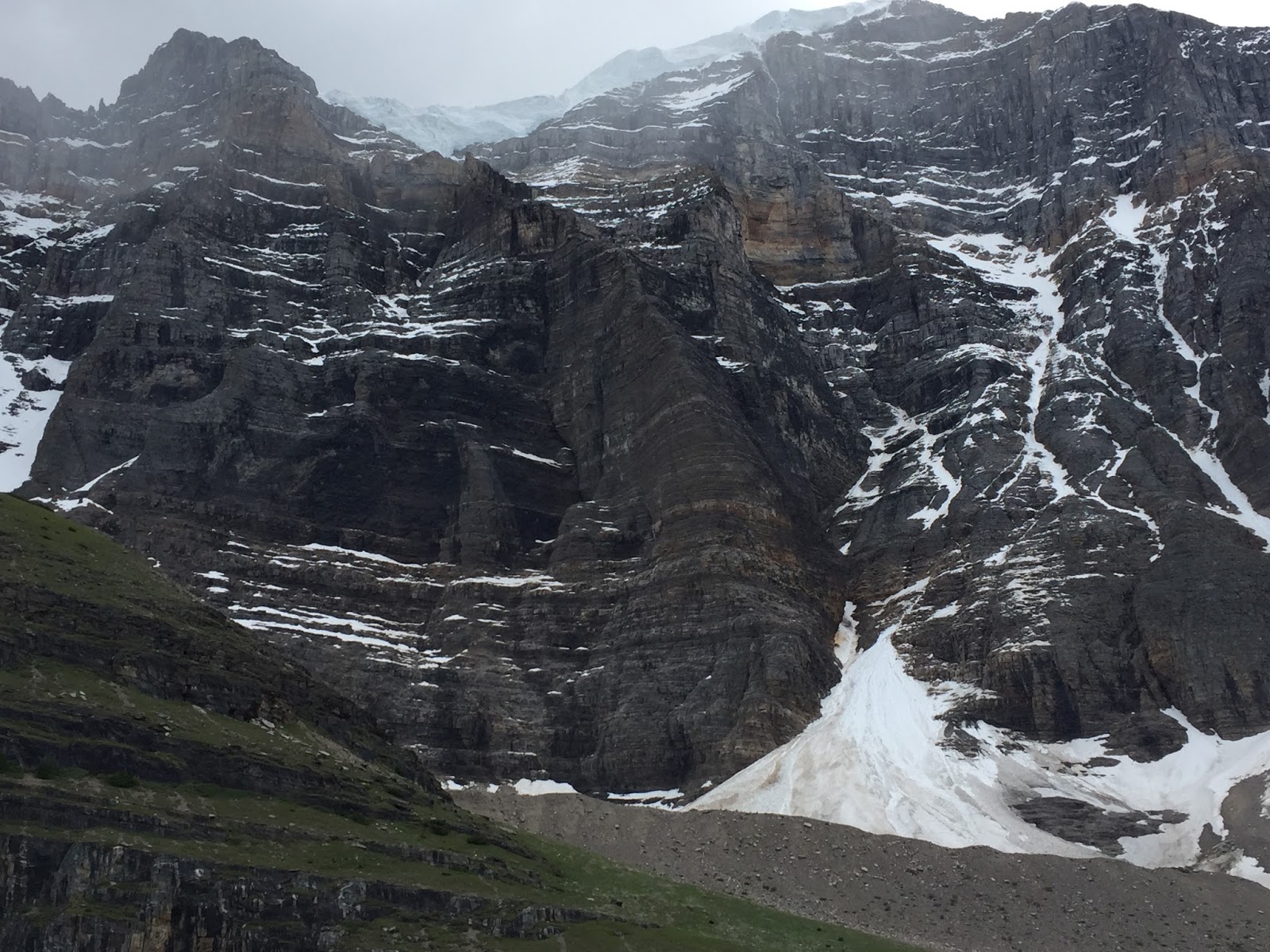
This picture has a good view of the glacier on top of the mountain.

As we were leaving, we turned back and took this picture of the out-flow from the lake and a little patch of snow at the bottom center of the picture.

Most of our pictures today were taken on the way back to the trailhead. That's Frederick in rain gear and his winter knit hat. Much of today's trail was along Paradise Valley Creek which we could see.

Returning back across Third Bridge.

Looking south, down the creek, from Third Bridge.

Three trail riders (one has already gone past) were the first group of horses to come up the trail this season. You might notice that the young man has a hatchet in his hand. When we came up the trail, earlier in the day, there were a number of trees that had fallen across the trail that we had to climb over. He was using the hatchet to cut away some of the trees so the horses could pass along the trail.

Trail along Paradise Valley Creek.

Looking up to the left, with the creek on the right.

Crossing Second Bridge and...

looking south.


Here we are at First Bridge again, in the afternoon light.

Notice the glacier on top of Temple Mountain. (If you click on the picture it will enlarge and the glacier may be more prominent.)

Almost back to the trailhead and crossing over a stream that is coming down the mountainside to join Paradise Valley Creek. The sun has come out and the temperature is about 10 degrees warmer.

Today's hike:
Length - 7.64 miles
Duration - 4 hours, 28 minutes (including lunch)
Elevation gain - 809 feet (109 floors on the Fitbit)

Wednesday, June 8, 2016

Boom Lake Trail

Boom Lake Trail isn't listed in any of our trail guide books, but when we asked the hiking club ladies yesterday what some of their favorite hikes were, they mentioned Boom Lake. While yesterday's hike to Stanley Glacier was about 4 miles inside Kootenay National Park, Boom Lake is right at the dividing boundary between Kootenay and Banff, so not far from where we hiked yesterday. The big difference between the two trails is that the Stanley Glacier Trail is through burned-over forests. Today's hike was right through an old-growth forest with lots of trees giving only filtered views of the glaciated peaks that surround the lake.

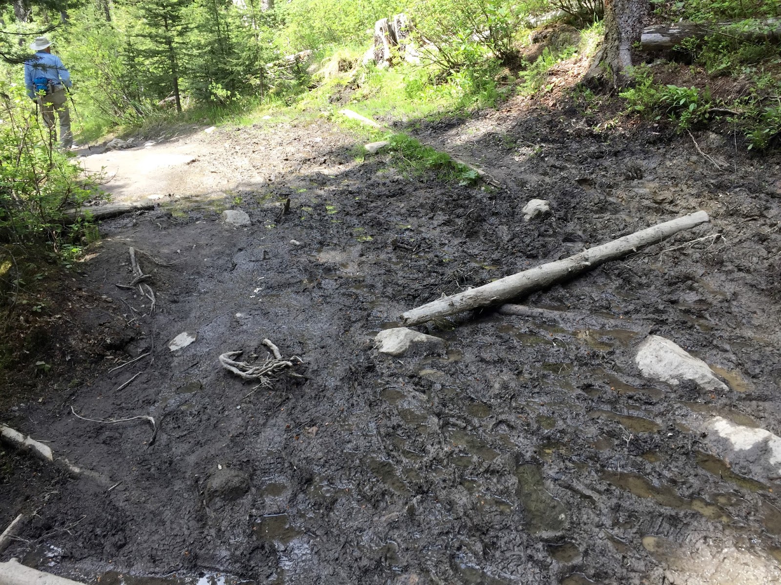
Because the trail travels through such a thick forest, the footing could sometimes be muddy and slippery. 

I believe that I have identified today's wildflower - a wood anemone, found in moist meadows and woods.

By the time we arrived at Boom Lake the sky had clouded over and a light rain began to fall. 

Pano view of the lake from our lunch spot.

Looking south down the lake.

This young couple are from Canmore and hiked up to the lake with a paddle board on his back. They consider Boom Lake a hidden gem. I'm sorry we didn't get to see him out on the lake, but they were just leaving. 

We broke out our rain jackets and ate our lunch under the shelter of some trees.

After lunch the sky brightened a bit and the lake water began to have more of an emerald color. The paddle board couple said that in the sunlight the lake is a deep, emerald color.

Same view as six pictures above - maybe a little more sunlit.

The trail through the deep woods.


What was very nice about today's hike were the bird songs. Usually the woods seem fairly quiet, but today the bird chorus was in full voice. We found one tree that was obviously a favorite of some woodpecker.

Close-up view of the tree.


Filtered views of the surrounding mountain peaks.

Rugged and magnificent.

The last half of the hike we could hear the rushing waters of Boom Creek that is somewhere down this mountainside.

There were frequent run-off streams that would cross the trail and rush off down the mountainside to meet the creek. Perhaps you can glimpse the little bridge over the trail that I'm standing on - bottom left in the picture.

Finally, at the trailhead, we could see the creek.

Bridge over the creek at the trailhead.

Today's hike:
Length - 6.83 miles
Duration - 3 hours, 36 minutes (including lunch)
Elevation gain - 770 feet (77 floors on the Fitbit)

Tuesday, June 7, 2016

Stanley Glacier

The trail to Stanley Glacier is just across the border from Banff into Kootenay National Park - when we are technically in the Province of British Columbia. It is also the guided Ranger hike that we took last summer when we went to see the fossils of the Burgess Shale.

Lovely

The trail runs through an area that has suffered multiple forest fires in the last few years. As a result, the trees are rather young and not fully grown. Frederick is there for scale.

After a steady climb through the burned pine forest we passed into an area of old woodland that escaped the forest fires. Here we crossed Stanley Creek where there are two footbridges. This scored, half-log one and...

twenty feet away this newer, modern one.

We continued to climb into a hanging valley surrounded by Storm Mountain, Stanley Peak and the sheer rock face known as the Guardwall.

Just beginning their descent was this group of 14 women, a hiking club from Cranmore. They go hiking as a group once a month. They are certainly in a beautiful part of the country to go hiking.

In the middle of the glacial valley we found a tree for our lunch spot - within sight of Stanley Glacier.

The valley floor was about 25% covered with these charming little flowers growing out of the rocks.

And, our lunch buddy from last year was able to join us.

As we ate our lunch we were able to look up at all the many waterfalls.


The waterfall just below Stanley Glacier.


The Guardwall with the Stanley glacier Waterfall and you can just glimpse the edge of the glacier on the top.

As we ate our lunch Frederick did some fossil hunting and found this one.

Coming back through the burned over forest, the sky had cleared from this morning (See the second picture above.) The surrounding mountains are in clear, sharp relief.

Today's hike:
Length - 5.7 miles
Duration - 3 hours, 40 minutes (including lunch)
Elevation gain - 1,160 feet (118 floors on the Fitbit)


Monday, June 6, 2016

Surprise Corner and a new MiFi

Frederick spent the morning trying to revive our 2-year-old Bell MiFi device - what allows us to connect to the internet in Canada - and when it wouldn't respond, off we went in search of a new one. It is, not surprisingly, difficult to find everyday staples in this ultimate recreation/resort town. But in the subterrainian level of one of the town's malls, we found an electronics store that was able to sell us a new MiFi.

Our new MiFi is on the left; our newish (6-months-old) MiFi from Verizon is on the right. Almost identical, right? "Could we change out the Verizon sim-card for our Bell card and use our current Verizon MiFi?" What do you think? Same company made both devices; same charging cable, same display. 

Our plans to hike to Stanley Glacier put off for another day (fortunately it was a bit overcast today, even though the temperature was in the mid 80s, so we didn't made the delay) we walked across the street and took the trail down to the Bow River and hiked the very pleasant trail that passes below the steep cliffs of Tunnel Mountain. Maybe you can just make out the river in the valley below.

An overview just before we reached the river. The color of the water was stunning.

A portion of the trail that follows the river that was moving at quite a rapid rate.

There were quite a few fragrant patches of sage. In the picture above, the plant is the (dare I say it?) sage green shrub to the right of the trail. I think I mentioned before that the smell of sage reminds me of Texas. That's because Texas is where I first smelled this fragrant bush.

As we were passing along the river, this raft-load of hardy adventurers passed us.

We are beginning to see lots of spring wildflowers along the trail.

Today's hike:
Length - 4.9 miles
Duration - 2 hours, 11 minutes
Elevation gain - 590 feet (57 floors on the Fitbit)